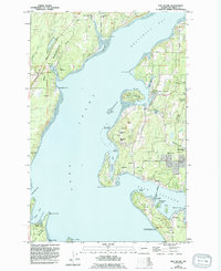
1953 Map of Fox Island
USGS Topo · Published 1994About this map
Key Peninsula and the intricate shoreline of Carr Inlet dominate this mid-century survey, revised in the early 1990s. The map illustrates a landscape of established coastal communities such as Rosedale and Artondale alongside significant maritime and environmental facilities. Of particular note is the Naval Surface Warfare Center Fox Island Acoustic Laboratory at the southern tip of Fox Island, a specialized facility situated in the deep waters of Hale Passage.
Find a feature on this map
54 named features on this map. Tap any name to fly to it.
Don’t see what you’re looking for? This feature index may not catch every label — zoom into the map to look around manually.
Map Details
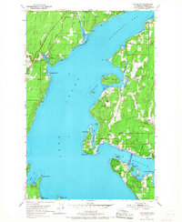
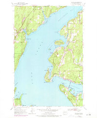
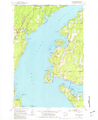
Editions of this 1953 Fox Island Map
5 editions found

Other maps of this area

1937 · Olympia
USGS Topo · 1:62,500

1938 · Allyn
USGS Topo · 1:62,500

1940 · Anderson Island
USGS Topo · 1:62,500

1942 · Gig Harbor
USGS Topo · 1:62,500

1943 · Gig Harbor
USGS Topo · 1:62,500

1948 · Anderson Island
USGS Topo · 1:62,500

1948 · Anderson Island
USGS Topo · 1:24,000

1948 · Steilacoom
USGS Topo · 1:24,000

1949 · Olympia
USGS Topo · 1:62,500

1953 · Burley
USGS Topo · 1:24,000