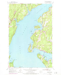
1953 Map of Fox Island
USGS Topo · Published 1969About this map
Henderson Bay and Carr Inlet dominate this coastal survey, which documents the maritime landscape of the Key Peninsula and its neighboring islands. The shoreline is punctuated by small residential clusters and recreational camps, including Camp Colman at Horsehead Bay and Camp Seymour on Glen Cove. On the mainland, the map details the infrastructure of rural life, from the Minter Community Center near the State Biological Sta and Fish Hatchery to the established neighborhoods of Arletta and Artondale. Significant transportation developments are visible, most notably the Fox Island Bridge connecting the main island to the peninsula. State land preservation is also evident at Kopachuck State Park and Penrose Point State Park, reflecting a mid-century balance between residential growth and the protection of the Puget Sound waterfront.
Find a feature on this map
54 named features on this map. Tap any name to fly to it.
Don’t see what you’re looking for? This feature index may not catch every label — zoom into the map to look around manually.
Map Details
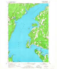
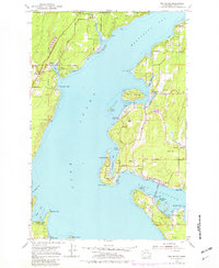
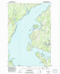
Editions of this 1953 Fox Island Map
5 editions found

Other maps of this area

1937 · Olympia
USGS Topo · 1:62,500

1938 · Allyn
USGS Topo · 1:62,500

1940 · Anderson Island
USGS Topo · 1:62,500

1942 · Gig Harbor
USGS Topo · 1:62,500

1943 · Gig Harbor
USGS Topo · 1:62,500

1948 · Anderson Island
USGS Topo · 1:62,500

1948 · Anderson Island
USGS Topo · 1:24,000

1948 · Steilacoom
USGS Topo · 1:24,000

1949 · Olympia
USGS Topo · 1:62,500

1953 · Burley
USGS Topo · 1:24,000