
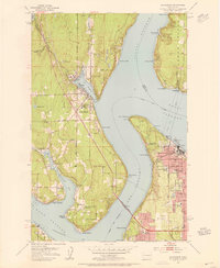
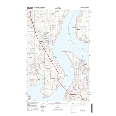
1943 Map of Gig Harbor
USGS Topo · Published 1943About this map
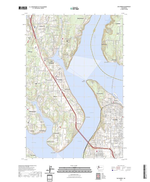
Gig Harbor serves as a central hub on this 1943 survey, surrounded by a complex network of coastal inlets and rural communities during the mid-war period. The landscape is characterized by its deep maritime connection, with numerous settlements like Purdy, Olalla, and Arletta situated along the shores of Henderson Bay and Colvos Passage. The interior is dotted with small lakes and family-named landmarks, including Nels Johnson Lakes and Matthews Lake. Education and faith centers like Elgin Sch and Lakeview Church mark the crossroads of these developing peninsulas.
Find a feature on this map
139 named features on this map. Tap any name to fly to it.
Don’t see what you’re looking for? This feature index may not catch every label — zoom into the map to look around manually.
Map Details
Editions of this 1943 Gig Harbor Map
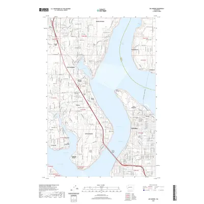
This is the sole edition of this map. No revisions or reprints were ever made.
Historical Maps of Tacoma Through Time
10 maps found

1942 Gig Harbor
Pierce County, WA
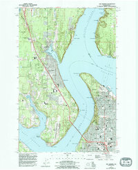
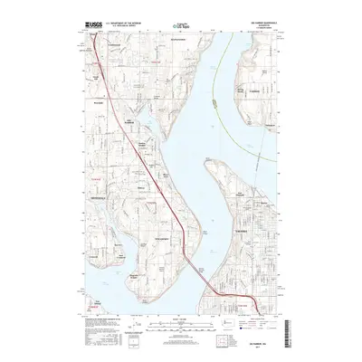
1943 Gig Harbor
Pierce County, WA
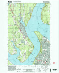
1953 Gig Harbor
Pierce County, WA
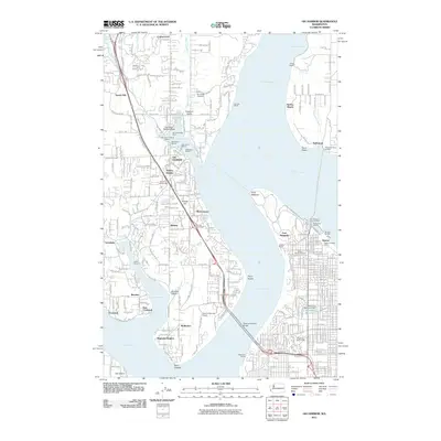
1959 Gig Harbor
Pierce County, WA
1997 Gig Harbor
Pierce County, WA
2011 Gig Harbor
Pierce County, WA
2014 Gig Harbor
Pierce County, WA
2017 Gig Harbor
Pierce County, WA
2020 Gig Harbor
Pierce County, WA
2023 Gig Harbor
Pierce County, WA