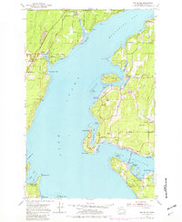
1953 Map of Fox Island
USGS Topo · Published 1982About this map
Carr Inlet and Henderson Bay define this mid-century maritime landscape, where the tides of the Puget Sound shaped early residential and recreational development. The map documents the vital transition between secluded island living and mainland connection, notably marked by the Fox Island Bridge. Settlements like Arletta, Rosedale, and Warren dot the shoreline, interspersed with long-standing community landmarks such as Camp Seymour on Glen Cove and Camp Colman near Horsehead Bay.
Find a feature on this map
47 named features on this map. Tap any name to fly to it.
Don’t see what you’re looking for? This feature index may not catch every label — zoom into the map to look around manually.
Map Details
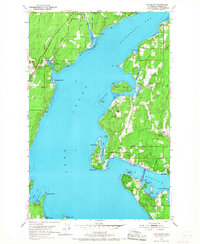
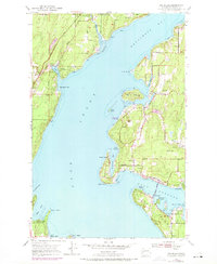
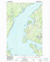
Editions of this 1953 Fox Island Map
5 editions found

Other maps of this area

1937 · Olympia
USGS Topo · 1:62,500

1938 · Allyn
USGS Topo · 1:62,500

1940 · Anderson Island
USGS Topo · 1:62,500

1942 · Gig Harbor
USGS Topo · 1:62,500

1943 · Gig Harbor
USGS Topo · 1:62,500

1948 · Anderson Island
USGS Topo · 1:62,500

1948 · Anderson Island
USGS Topo · 1:24,000

1948 · Steilacoom
USGS Topo · 1:24,000

1949 · Olympia
USGS Topo · 1:62,500

1953 · Burley
USGS Topo · 1:24,000