
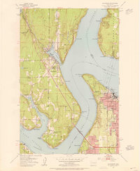
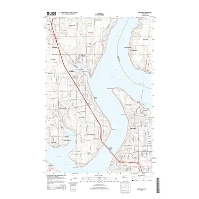
1942 Map of Gig Harbor
USGS Topo · Published 1954About this map
Gig Harbor and the surrounding inlets of the Kitsap Peninsula appear here during a period of maritime-dependent settlement, several years after the initial 1937 aerial surveys. The landscape is defined by its intricate shoreline, where communities like Olalla, Lisabeula, and Fragaria dot the banks of Colvos Passage. The presence of numerous named points such as Pt Fosdick and Pt Evans along The Narrows underscores the area's importance for Puget Sound navigation and local ferries.
Find a feature on this map
107 named features on this map. Tap any name to fly to it.
Don’t see what you’re looking for? This feature index may not catch every label — zoom into the map to look around manually.
Map Details
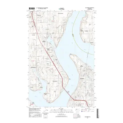
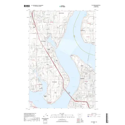
Editions of this 1942 Gig Harbor Map
This is the sole edition of this map. No revisions or reprints were ever made.
Historical Maps of Tacoma Through Time
10 maps found
1942 Gig Harbor
Pierce County, WA

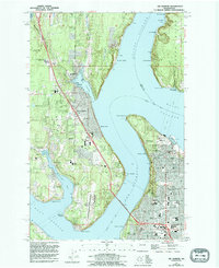
1943 Gig Harbor
Pierce County, WA
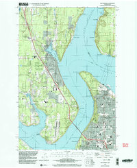
1953 Gig Harbor
Pierce County, WA
1959 Gig Harbor
Pierce County, WA
1997 Gig Harbor
Pierce County, WA
2011 Gig Harbor
Pierce County, WA
2014 Gig Harbor
Pierce County, WA
2017 Gig Harbor
Pierce County, WA
2020 Gig Harbor
Pierce County, WA
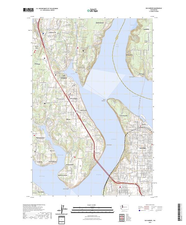
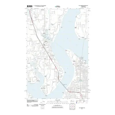
2023 Gig Harbor
Pierce County, WA