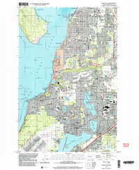
1948 Map of Steilacoom
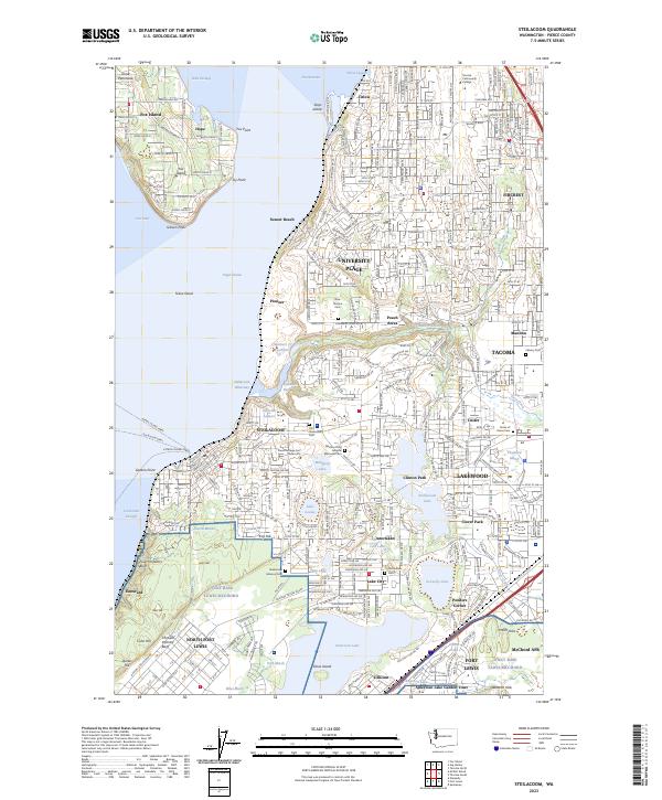
USGS Topo · Published 1955About this map
Steilacoom serves as a historic coastal anchor in this late 1940s landscape, positioned along Cormorant Passage where the Northern Pacific railroad tracks hug the shoreline. The region shows a significant military and institutional presence, with the expansive Fort Lewis Military Reservation and Mc Chord Air Force Base dominating the southern portion of the sheet. Between these installations and the residential growth of Fircrest and Lakewood Center lie several important local institutions, including the State Hospital for the Insane and the Veterans Hospital.
Find a feature on this map
104 named features on this map. Tap any name to fly to it.
Don’t see what you’re looking for? This feature index may not catch every label — zoom into the map to look around manually.
Map Details
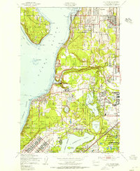
Editions of this 1948 Steilacoom Map
This is the sole edition of this map. No revisions or reprints were ever made.
Historical Maps of Tacoma Through Time
4 maps found