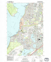
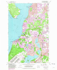
1959 Map of Steilacoom
USGS Topo · Published 1995About this map
The waters of Puget Sound and Steilacoom Lake define this detailed 1990s revision of a mid-century survey, showcasing the dense residential and institutional development of Pierce County. Large-scale military and public land uses dominate the landscape, from the sprawling grounds of Fort Lewis Military Reservation and McChord Air Force Base to the American Lake Veterans Hospital. The map records a significant concentration of local heritage sites, including the Gravelly Lake Old Settlers Cem and the Steilacoom Masonic Cem, which offer deep roots for genealogical research in one of the state's earliest settled areas.
Find a feature on this map
93 named features on this map. Tap any name to fly to it.
Don’t see what you’re looking for? This feature index may not catch every label — zoom into the map to look around manually.
Map Details
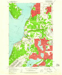
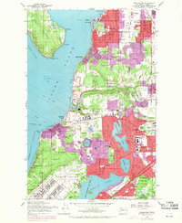
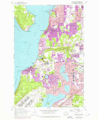
Editions of this 1959 Steilacoom Map
5 editions found
Other maps of this area

1897 · Tacoma
USGS Topo · 1:125,000

1900 · Tacoma
USGS Topo · 1:125,000

1940 · Anderson Island
USGS Topo · 1:62,500

1941 · Tacoma South
USGS Topo · 1:62,500

1942 · Gig Harbor
USGS Topo · 1:62,500

1943 · Gig Harbor
USGS Topo · 1:62,500

1944 · Tacoma South
USGS Topo · 1:62,500

1948 · Anderson Island
USGS Topo · 1:62,500

1948 · Fort Lewis
USGS Topo · 1:24,000

1948 · Nisqually
USGS Topo · 1:24,000