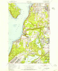
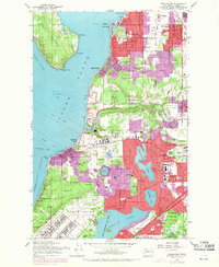
1959 Map of Steilacoom
USGS Topo · Published 1960About this map
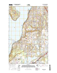
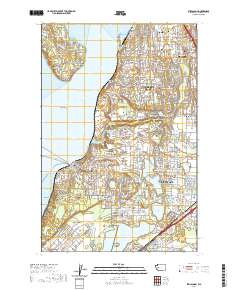
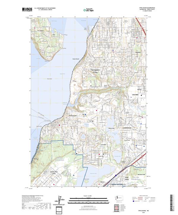
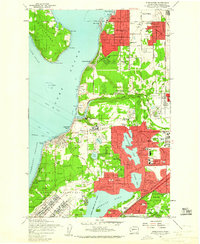
Fort Lewis Military Reservation dominates the southern landscape of this 1959 survey, where the dense woodlands of Curry Woods and Goddard Woods meet the inland waters of American Lake. The area reflects a complex mid-century landscape of institutional development and suburban growth, featuring the sprawling Western Washington State Hospital and the nearby Veterans Hospital. Residential clusters like University Place, Fircrest, and Lakewood Center are shown in their late-1950s configuration, separated by extensive recreation and utility sites including the Fircrest Golf Course and numerous Gravel Pits. Along the shoreline, the Steilacoom Ferry connects the mainland to Fox Island, while the Northern Pacific railroad tracks hug the coast below Ketron Bluff. Notable local landmarks like Waughop L and the Home of Peace Cemetery provide specific points of interest for genealogists and local historians studying the Puget Sound's South Basin development.
Find a feature on this map
95 named features on this map. Tap any name to fly to it.
Don’t see what you’re looking for? This feature index may not catch every label — zoom into the map to look around manually.
Map Details
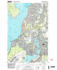
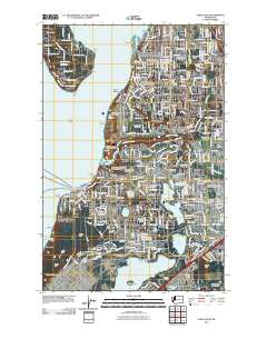
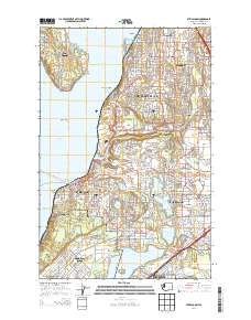
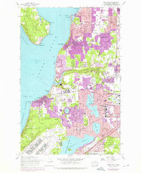
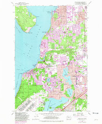
Editions of this 1959 Steilacoom Map
5 editions found

Historical Maps of Tacoma Through Time
8 maps found