
1941 Map of Tacoma South
USGS Topo · Published 1958About this map
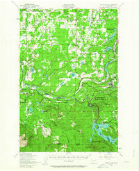
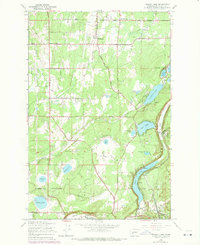
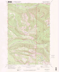
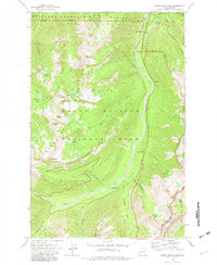
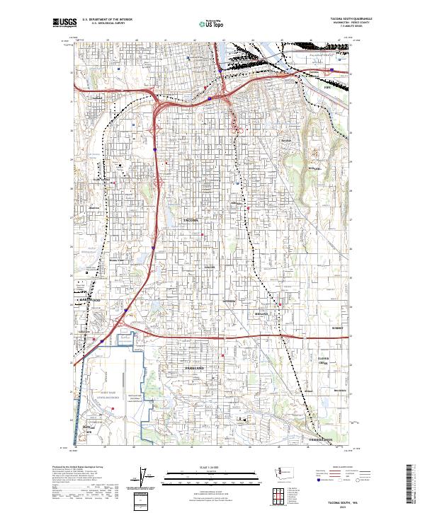
Puyallup Valley serves as a central artery for transportation and industry on the southern outskirts of Tacoma during the early 1940s. The landscape is defined by a dense network of competing rail lines, including the Chicago Milwaukee St Paul and Pacific and the Northern Pacific, which connect the urban core to industrial outposts and agricultural hubs like the Western Washington Experiment Station. Educational and institutional life is prominent, evidenced by Pacific Lutheran College in Parkland and the Mary Mount Military Academy near Spanaway Lake. To the south, the vast Fort Lewis Military Reservation borders rural reaches where small settlements such as Loveland and Thrift are tied to the land. Historical markers like the Site of Old Ft Malone (1856) and Site of Old Camp Montgomery (1856) provide significant lineage for local researchers tracing mid-19th-century pioneer and military history.
Find a feature on this map
73 named features on this map. Tap any name to fly to it.
Don’t see what you’re looking for? This feature index may not catch every label — zoom into the map to look around manually.
Map Details
Editions of this 1941 Tacoma South Map
This is the sole edition of this map. No revisions or reprints were ever made.
Historical Maps of Tacoma Through Time
58 maps found
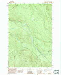
1941 Tacoma South
Pierce County, WA

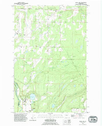
1941 Tanwax Lake
Pierce County, WA

1944 Ohop Valley
Pierce County, WA

1944 Tacoma South
Pierce County, WA

1948 Nisqually
Pierce County, WA
1949 Ohop Valley
Pierce County, WA

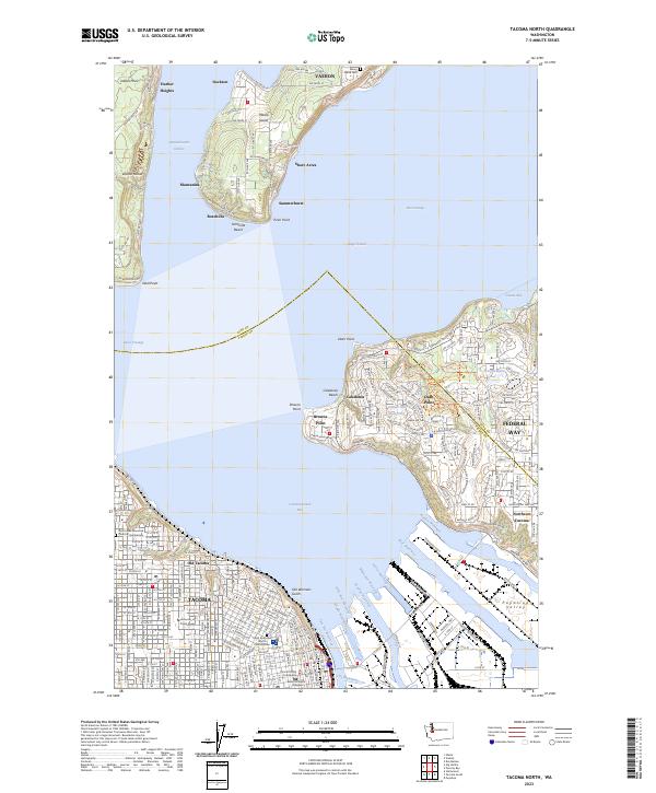
1949 Tacoma North
Pierce County, WA
1959 Harts Lake
Pierce County, WA
1959 Mc Neil Island
Pierce County, WA
1959 Nisqually
Pierce County, WA

1959 Ohop Valley
Pierce County, WA
1959 Tanwax Lake
Pierce County, WA
1961 Tacoma North
Pierce County, WA

1961 Tacoma South
Pierce County, WA
1961 Tacoma South
Pierce County, WA
1971 Chinook Pass
Pierce County, WA
1971 Golden Lakes
Pierce County, WA

1971 Mount Wow
Pierce County, WA
1971 Mowich Lake
Pierce County, WA
1971 Mt Rainier East
Pierce County, WA
1971 Mt Rainier West
Pierce County, WA

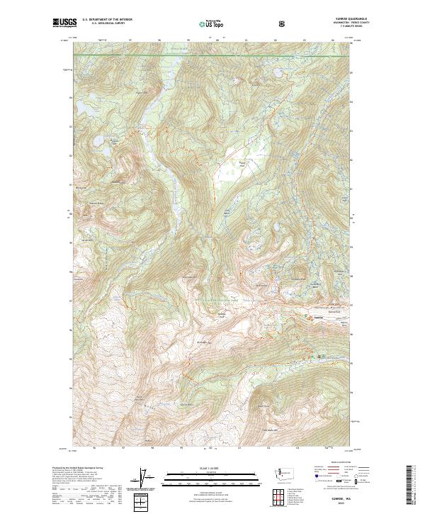
1971 Sunrise
Pierce County, WA
1971 White River Park
Pierce County, WA

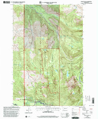
1986 Bearhead Mtn
Pierce County, WA
1986 Clear West Peak
Pierce County, WA
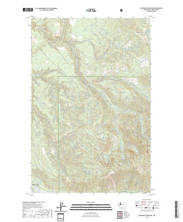
1986 Old Baldy Mtn.
Pierce County, WA

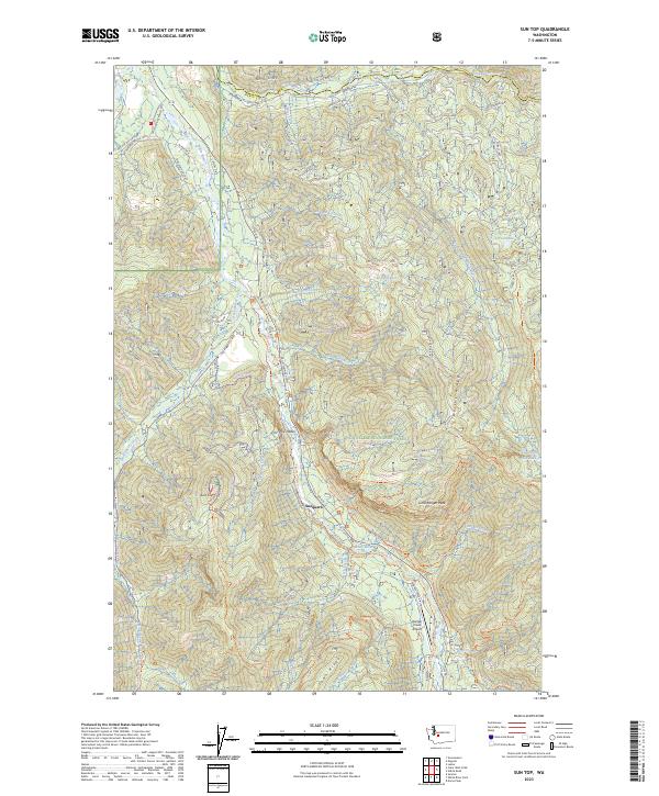
1986 Sun Top
Pierce County, WA
1987 Lake Kapowsin
Pierce County, WA
1987 Le Dout Creek
Pierce County, WA

1989 Noble Knob
Pierce County, WA
1990 Harts Lake
Pierce County, WA

1990 Tanwax Lake
Pierce County, WA

1997 Mc Neil Island
Pierce County, WA

1997 Nisqually
Pierce County, WA

1997 Tacoma North
Pierce County, WA

1997 Tacoma South
Pierce County, WA
2000 Mount Wow
Pierce County, WA
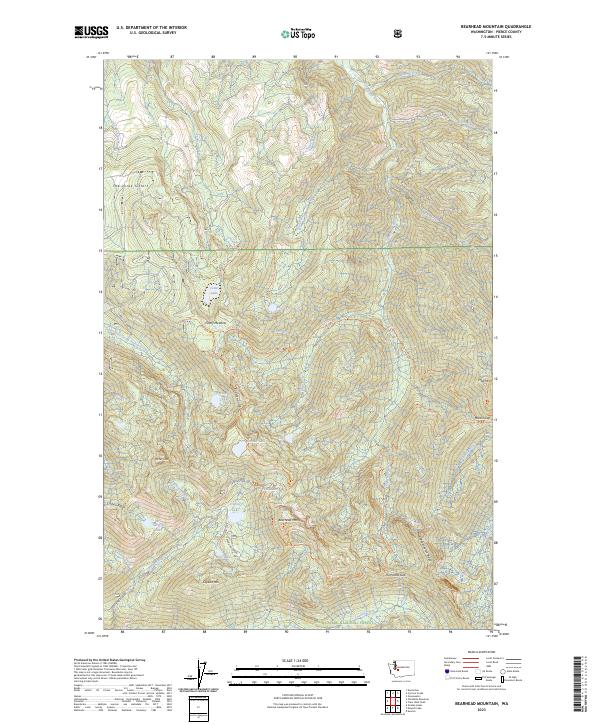
2023 Bearhead Mountain
Pierce County, WA

2023 Chinook Pass
Pierce County, WA
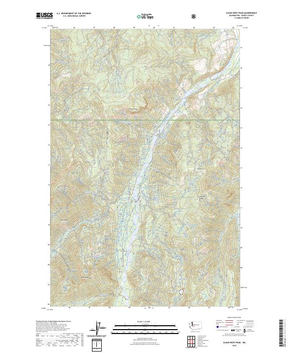
2023 Clear West Peak
Pierce County, WA
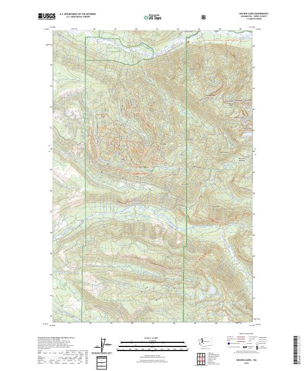
2023 Golden Lakes
Pierce County, WA
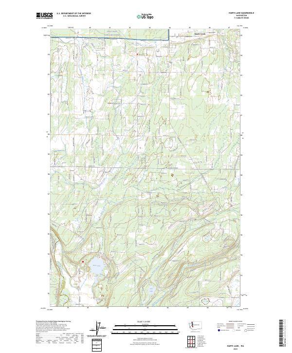
2023 Harts Lake
Pierce County, WA
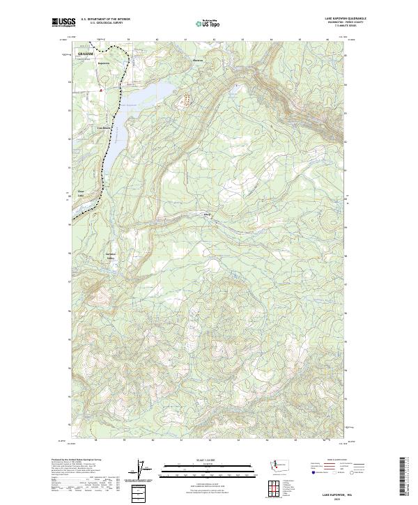
2023 Lake Kapowsin
Pierce County, WA
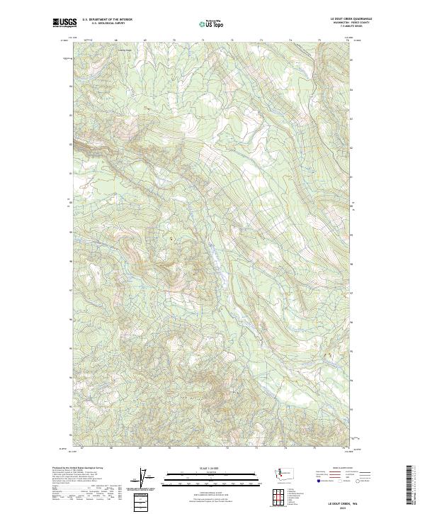
2023 Le Dout Creek
Pierce County, WA
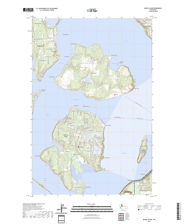
2023 McNeil Island
Pierce County, WA
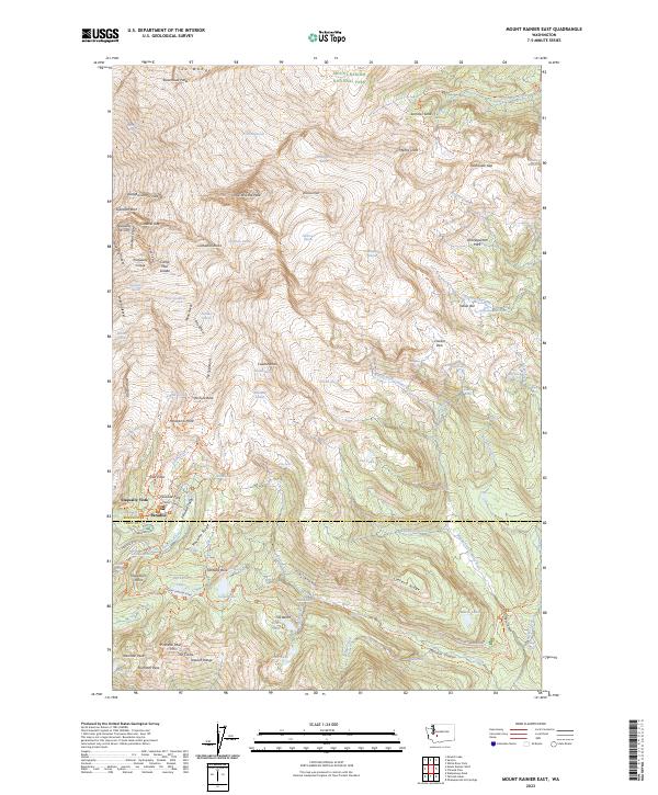
2023 Mount Rainier East
Pierce County, WA
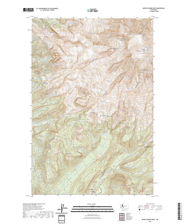
2023 Mount Rainier West
Pierce County, WA
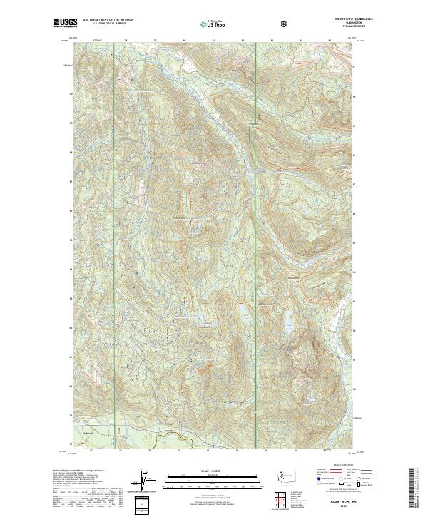
2023 Mount Wow
Pierce County, WA
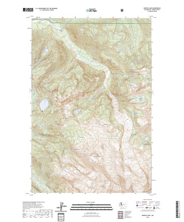
2023 Mowich Lake
Pierce County, WA
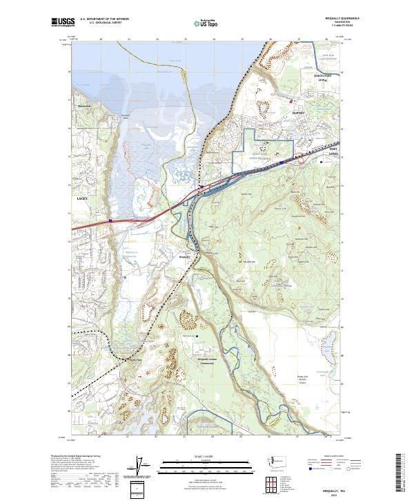
2023 Nisqually
Pierce County, WA
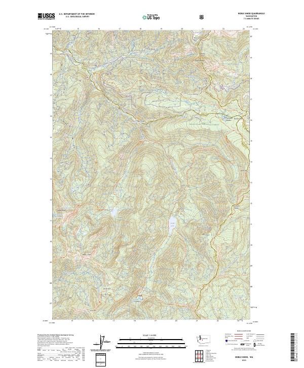
2023 Noble Knob
Pierce County, WA
2023 Old Baldy Mountain
Pierce County, WA
2023 Sunrise
Pierce County, WA
2023 Sun Top
Pierce County, WA
2023 Tacoma North
Pierce County, WA
2023 Tacoma South
Pierce County, WA
2023 Tanwax Lake
Pierce County, WA
2023 White River Park
Pierce County, WA