
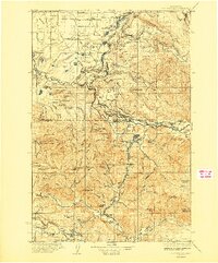
1937 Map of Eatonville
USGS Topo · Published 1937About this map
Eatonville serves as a central hub in this mid-1930s landscape, positioned where the Mashel River meets the timber-rich foothills. The region's industrial character is defined by the Chicago Milwaukee St Paul and Pacific RR, which links logging and mining outposts like Clay City and Mineral. Resource extraction is evident at the Ladd Mine and within the vast tracts of the Snoqualmie National Forest. To the north, the Fort Lewis Military Res occupies a significant portion of the prairie land. This survey captures a specific era of infrastructure before major hydroelectric developments altered the river valleys, showing towns like Alder, Riffe, and Harmony in their original riverside locations. Rural education is well-documented through small local landmarks such as Rainier Sch and Weyerhaeuser Sch, reflecting the distributed settlement patterns of the Pierce and Lewis County borderlands.
Find a feature on this map
111 named features on this map. Tap any name to fly to it.
Don’t see what you’re looking for? This feature index may not catch every label — zoom into the map to look around manually.
Map Details
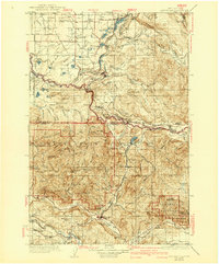
Editions of this 1937 Eatonville Map
3 editions found
Other maps of this area

1897 · Tacoma
USGS Topo · 1:125,000

1900 · Tacoma
USGS Topo · 1:125,000

1913 · Cedar Lake
USGS Topo · 1:125,000

1916 · Chehalis
USGS Topo · 1:125,000

1919 · Mount St Helens
USGS Topo · 1:125,000

1924 · Mt Rainier
USGS Topo · 1:96,000

1926 · Steamboat Mtn
USGS Topo · 1:125,000

1928 · Mt Rainier
USGS Topo · 1:125,000

1931 · Steamboat Mtn
USGS Topo · 1:125,000

1940 · Anderson Island
USGS Topo · 1:62,500