
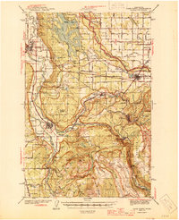
1944 Map of Lake Tapps
USGS Topo · Published 1944About this map
Lake Tapps dominates this 1940s landscape, serving as a focal point for a region defined by river valleys and burgeoning industrial settlements. The map illustrates a complex network of infrastructure, including the Northern Pacific Railroad and the Chicago Milwaukee St Paul and Pacific Railroad, which facilitated the movement of timber and coal from the surrounding hills. Near the White River, the Muckleshoot Indian Reservation and the Connells Prairie Battle Monument anchor the area's deep history, while towns like Carbonado and Wilkeson show the concentration of Coal Mines that fueled local growth.
Find a feature on this map
107 named features on this map. Tap any name to fly to it.
Don’t see what you’re looking for? This feature index may not catch every label — zoom into the map to look around manually.
Map Details
Editions of this 1944 Lake Tapps Map
3 editions found
Other maps of this area

1897 · Tacoma
USGS Topo · 1:125,000

1900 · Tacoma
USGS Topo · 1:125,000

1913 · Cedar Lake
USGS Topo · 1:125,000

1924 · Mt Rainier
USGS Topo · 1:96,000

1928 · Mt Rainier
USGS Topo · 1:125,000

1937 · Eatonville
USGS Topo · 1:125,000

1941 · Tanwax Lake
USGS Topo · 1:62,500

1941 · Tacoma South
USGS Topo · 1:62,500

1942 · Lake Tapps
USGS Topo · 1:62,500

1944 · Tacoma South
USGS Topo · 1:62,500