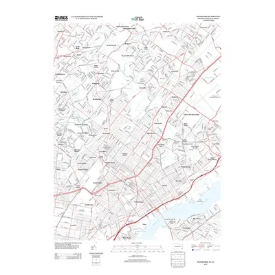
2013 Map of Frankford
USGS Topo · Published 2013About this map
The Delaware River waterfront and its complex industrial waterways define this corner of Northeast Philadelphia and Lower Montgomery County. From the Bridesburg Channel to the Tacony Channel, the shoreline remains a hub of transit and infrastructure, punctuated by landmarks like Eightmile Point and Ten Mile Point. Inland, the map reveals a dense network of neighborhoods including Frankford, Holmesburg, and Jenkintown, as well as several smaller residential enclaves such as Ashmead Village and Foxcroft Square.
Find a feature on this map
105 named features on this map. Tap any name to fly to it.
Don’t see what you’re looking for? This feature index may not catch every label — zoom into the map to look around manually.
Map Details
Editions of this 2013 Frankford Map
This is the sole edition of this map. No revisions or reprints were ever made.
Other maps of this area

1888 · Mount Holly
USGS Topo · 1:62,500

1890 · Burlington
USGS Topo · 1:62,500

1891 · Philadelphia
USGS Topo · 1:62,500

1893 · Germantown
USGS Topo · 1:62,500
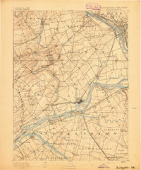
1893 · Burlington
USGS Topo · 1:62,500
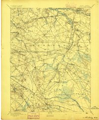
1894 · Mount Holly
USGS Topo · 1:62,500

1894 · Philadelphia
USGS Topo · 1:62,500
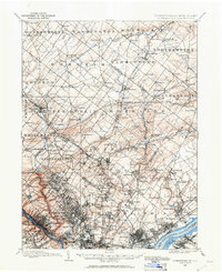
1894 · Germantown
USGS Topo · 1:62,500
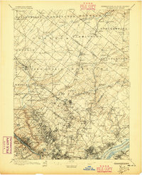
1896 · Germantown
USGS Topo · 1:62,500

1896 · Philadelphia
USGS Topo · 1:62,500
Featured Places
- Philadelphia, PA
- Abington Township, PA
- Cheltenham Township, PA
- Cinnaminson Township, NJ
- Lower Moreland Township, PA