
Loading...
Loading map...2023 Map of Franklin
USGS Topo · Published 2023About this map
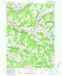
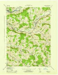
Franklin serves as the focal point of this Delaware County survey, where the village is situated at the confluence of Ouleout Creek and its southern tributaries. The landscape is defined by its deep hollows and high points, including Wheat Hill and Sherman Hill, which channel numerous streams into the East Sidney Lake reservoir. This body of water, created by the damming of the creek, has significantly altered the local geography around East Sidney.
Find a feature on this map
104 named features on this map. Tap any name to fly to it.
Don’t see what you’re looking for? This feature index may not catch every label — zoom into the map to look around manually.
Map Details
Date Portrayed2023
Date Published2023
PublisherU.S. Geological Survey
Map TypeTopographic
Scale1:24000
Physical Dimensions24 x 29 inches
Editions of this 2023 Franklin Map
This is the sole edition of this map. No revisions or reprints were ever made.
Historical Maps of Unadilla Through Time
3 maps found
Featured Locations
Source Details
SourceU.S. Geological Survey
CopyrightPublic Domain