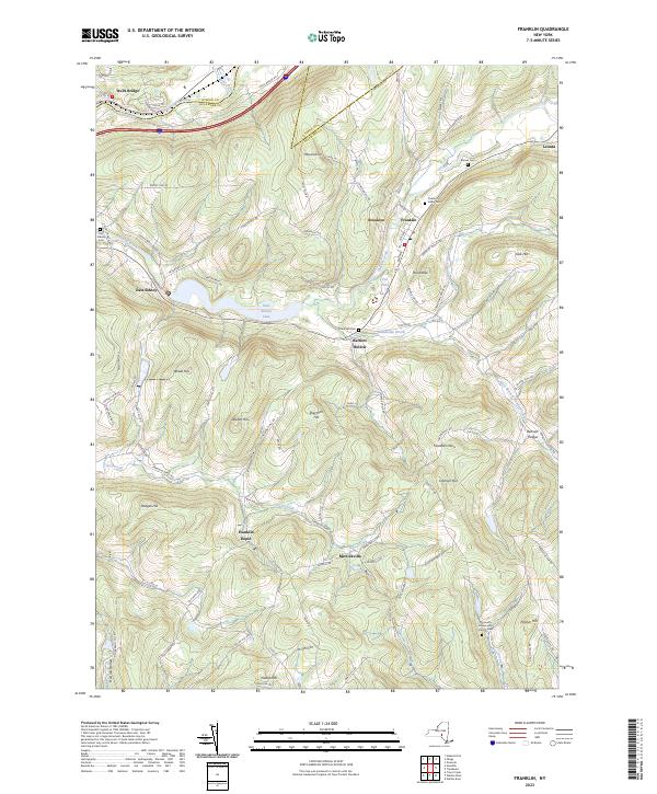
2023 Map of Franklin
USGS Topo · Published 2023About this map
Franklin serves as the focal point of this Delaware County survey, where the village is situated at the confluence of Ouleout Creek and its southern tributaries. The landscape is defined by its deep hollows and high points, including Wheat Hill and Sherman Hill, which channel numerous streams into the East Sidney Lake reservoir. This body of water, created by the damming of the creek, has significantly altered the local geography around East Sidney.
Find a feature on this map
104 named features on this map. Tap any name to fly to it.
Don’t see what you’re looking for? This feature index may not catch every label — zoom into the map to look around manually.
Map Details
Editions of this 2023 Franklin Map
This is the sole edition of this map. No revisions or reprints were ever made.
Other maps of this area

1915 · Oneonta
USGS Topo · 1:62,500

1915 · Unadilla
USGS Topo · 1:62,500

1918 · Unadilla
USGS Topo · 1:62,500

1918 · Oneonta
USGS Topo · 1:62,500

1923 · Walton
USGS Topo · 1:48,000

1924 · Deposit
USGS Topo · 1:62,500

1925 · Walton
USGS Topo · 1:62,500

1926 · Deposit
USGS Topo · 1:62,500

1943 · Gilbertsville
USGS Topo · 1:24,000

1943 · Franklin
USGS Topo · 1:24,000