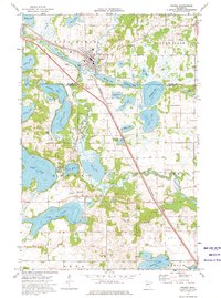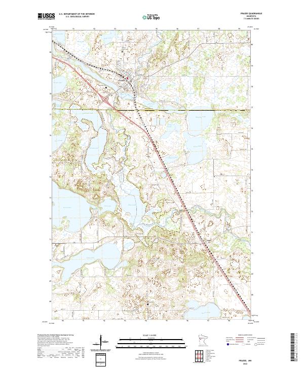
2022 Map of Frazee
USGS Topo · Published 2022About this map
Frazee serves as the focal point of this lake-strewn landscape where the Otter Tail River winds through both Becker and Otter Tail counties. The city's layout is clearly defined by historical thoroughfares like E Main Ave and Lake St S, while several burial grounds, including Lakeside Cem and Sacred Heart Cem, provide significant markers for genealogical research. The terrain is dominated by a dense concentration of glacial water bodies, from the larger Wimar Lake and Long Lake to the smaller basins of Gebo Lake and Keyes Lake. Further south, the small settlement of Luce sits along the roadway of Co Hwy 60, marking a distinct pocket of development. The surrounding rural areas are punctuated by Flatau Cem and an extensive network of secondary roads such as Silver Star Rd and Valley View Rd, which connect the scattered farms and lakeside properties across this northern Minnesota interior.
Find a feature on this map
93 named features on this map. Tap any name to fly to it.
Don’t see what you’re looking for? This feature index may not catch every label — zoom into the map to look around manually.
Map Details
Editions of this 2022 Frazee Map
This is the sole edition of this map. No revisions or reprints were ever made.