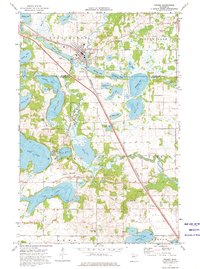
1973 Map of Frazee
USGS Topo · Published 1976About this map
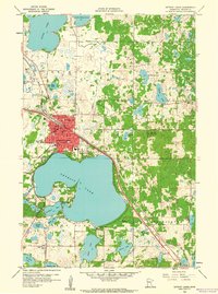
Frazee serves as the primary hub of this landscape during the mid-1970s, situated where the Burlington Northern railroad corridor meets the winding path of the Otter Tail River. The area is defined by an intricate network of glacial lakes, with significant water bodies like Rose Lake, Long Lake, and Town Lake surrounding the central settlements. For those tracing family histories or local development, the map identifies specific community landmarks such as Sacred Heart Cem and Lakeside Cem, as well as the small railway hamlet of Luce to the southeast. The terrain's industrial and infrastructure character is revealed through numerous Gravel Pits, a Substation, and Sewage Disposal Ponds, reflecting the utility needs of the era. The boundary line between Becker and Otter Tail Counties cuts through the southwestern section, passing through many of the smaller water bodies like Graham Lake and Wimar Lake.
Find a feature on this map
48 named features on this map. Tap any name to fly to it.
Don’t see what you’re looking for? This feature index may not catch every label — zoom into the map to look around manually.
Map Details
Editions of this 1973 Frazee Map
This is the sole edition of this map. No revisions or reprints were ever made.
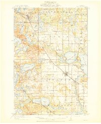
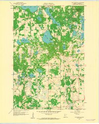
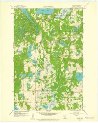
Other maps of this area

1912 · Vergas
USGS Topo · 1:62,500
1915 · Perham
USGS Topo · 1:62,500

1915 · Vergas
USGS Topo · 1:62,500

1953 · Brainerd
USGS Topo · 1:250,000

1957 · Brainerd
USGS Topo · 1:250,000

1958 · Brainerd
USGS Topo · 1:250,000
1959 · Toad Mountain
USGS Topo · 1:24,000
1959 · Rochert
USGS Topo · 1:24,000
1959 · Detroit Lakes
USGS Topo · 1:24,000

1965 · Brainerd
USGS Topo · 1:250,000