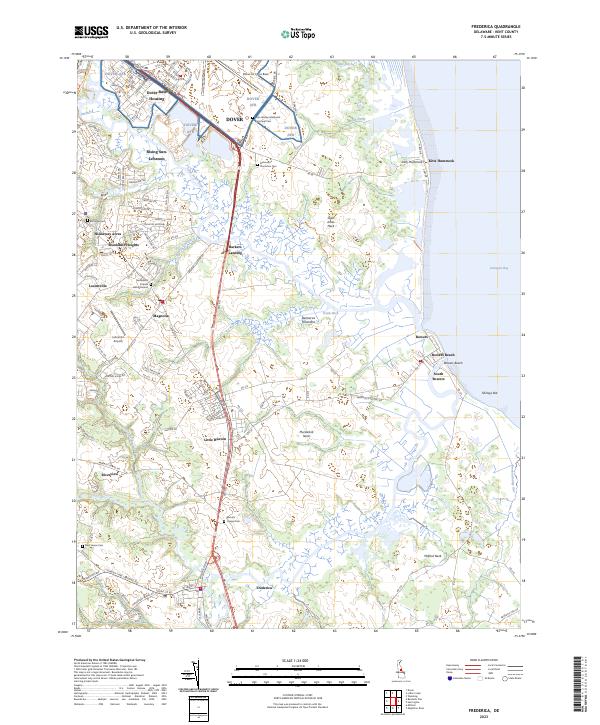
2023 Map of Frederica
USGS Topo · Published 2023About this map
Delmarva Peninsula lowlands define this survey of coastal Kent County, where the Saint Jones River and Murderkill Neck meet the Delaware Bay. The landscape is a network of managed water, from the Lewis Ditch to Heaven Gut Ditch, reflecting centuries of agricultural drainage alongside the tidal marshes of Milford Neck. Religious and family history is deeply rooted here, preserved in sites like the Barratts Chapel Cem and the Motherkiln Friends Burial Ground. The northern reach is dominated by the sprawling infrastructure of Dover Air Force Base, while the coastline maintains its traditional character through small bayfront settlements like Bowers Beach and Kitts Hummock. Between the established towns of Magnolia and Frederica, older landing sites like Barkers Landing hint at the historical river-based economy that once preceded the modern corridor through Little Heaven.
Find a feature on this map
114 named features on this map. Tap any name to fly to it.
Don’t see what you’re looking for? This feature index may not catch every label — zoom into the map to look around manually.
Map Details
Editions of this 2023 Frederica Map
This is the sole edition of this map. No revisions or reprints were ever made.
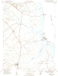
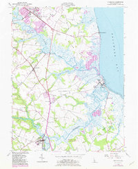
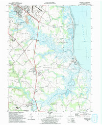
Historical Maps of Webb Landing Through Time
4 maps found