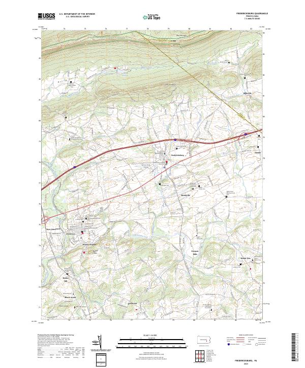
2023 Map of Fredericksburg
USGS Topo · Published 2023About this map
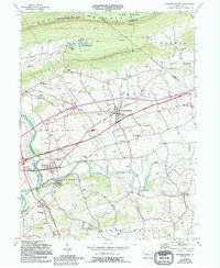
Fredericksburg and Jonestown anchor this landscape along the southern base of Blue Mountain. The area is characterized by a dense concentration of historical religious sites and family burial grounds, reflecting a deep-seated Pennsylvania German heritage. Genealogists can find numerous mapped locations such as the Saint John's Lutheran Church Cem, Wenger Meetinghouse Cem, and the Shirksville Mennonite Church Cem. The terrain transitions from the ridge-top Appalachian National Scenic Trail down through the Bunker Hills to the fertile valleys of Little Swatara Creek. Evidence of early transportation and industry remains visible through the alignment of the Union Canal near Bunker Hill and the presence of Freeport Mills, illustrating how the waterways of Lebanon CO shaped local settlement patterns and trade before modern highways like the William Penn Hwy redefined the corridor.
Find a feature on this map
190 named features on this map. Tap any name to fly to it.
Don’t see what you’re looking for? This feature index may not catch every label — zoom into the map to look around manually.
Map Details
Editions of this 2023 Fredericksburg Map
This is the sole edition of this map. No revisions or reprints were ever made.
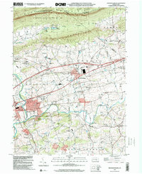
Historical Maps of Jonestown Through Time
4 maps found