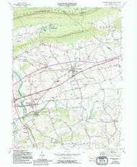
1955 Map of Fredericksburg
USGS Topo · Published 1994About this map
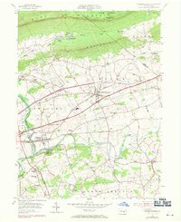
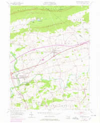
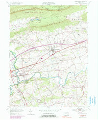
Blue Mountain and Little Mountain frame the northern reaches of this mid-century landscape, where the Appalachian Trail follows the ridge through State Game Lands No 80. The southern valley is defined by the winding course of Swatara Creek and its tributary, Little Swatara Creek. Significant local history is anchored in the borough of Jonestown and the village of Fredericksburg, which serve as hubs for a rural landscape dotted with family-named institutions like Sherks Sch and Wengert Sch. Evidence of the region's agricultural and transit roots is visible in the alignment of the William Penn Highway and the small airfield at Farmers Pride Airport. The map highlights a network of country churches and burial grounds, including Meckville Cem and Shirksville Cem, documenting the established community fabric of Lebanon County during this era of growth.
Find a feature on this map
53 named features on this map. Tap any name to fly to it.
Don’t see what you’re looking for? This feature index may not catch every label — zoom into the map to look around manually.
Map Details
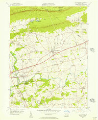
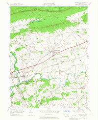
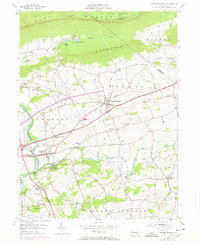
Editions of this 1955 Fredericksburg Map
7 editions found
Other maps of this area

1891 · Lebanon
USGS Topo · 1:62,500

1892 · Lykens
USGS Topo · 1:62,500

1892 · Hummelstown
USGS Topo · 1:62,500

1892 · Pine Grove
USGS Topo · 1:62,500

1893 · Lykens
USGS Topo · 1:62,500

1893 · Lebanon
USGS Topo · 1:62,500

1899 · Lebanon
USGS Topo · 1:62,500

1924 · Hummelstown
USGS Topo · 1:62,500

1943 · Lebanon
USGS Topo · 1:62,500

1943 · Lykens
USGS Topo · 1:62,500
Featured Places
- Bethel Township, PA
- Jonestown, PA
- Union Township, PA
- Swatara Township, PA
- Fredericksburg, Bethel Township