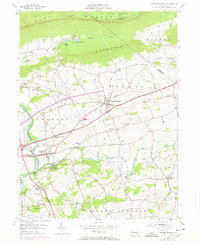
1955 Map of Fredericksburg
USGS Topo · Published 1970About this map
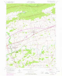
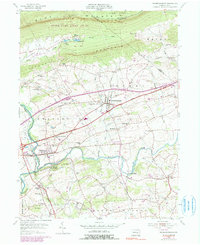
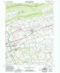
Blue Mountain and Little Mountain dominate the northern landscape of this Lebanon County region, where the Appalachian Trail follows the ridgeline overlooking a valley transition from forest to farmland. By the mid-1950s, the rural character of Fredericksburg and Jonestown was being reshaped by modern infrastructure, including the William Penn Highway and an interstate project marked under construction. The map reveals a deep history of transport and settlement, following the path of the Union Canal along the Swatara Creek and the Reading railroad corridor.
Find a feature on this map
64 named features on this map. Tap any name to fly to it.
Don’t see what you’re looking for? This feature index may not catch every label — zoom into the map to look around manually.
Map Details
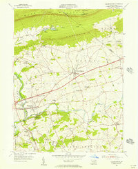
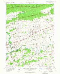
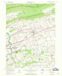
Editions of this 1955 Fredericksburg Map
7 editions found
Other maps of this area

1891 · Lebanon
USGS Topo · 1:62,500

1892 · Lykens
USGS Topo · 1:62,500

1892 · Hummelstown
USGS Topo · 1:62,500

1892 · Pine Grove
USGS Topo · 1:62,500

1893 · Lykens
USGS Topo · 1:62,500

1893 · Lebanon
USGS Topo · 1:62,500

1899 · Lebanon
USGS Topo · 1:62,500

1924 · Hummelstown
USGS Topo · 1:62,500

1943 · Lebanon
USGS Topo · 1:62,500

1943 · Lykens
USGS Topo · 1:62,500
Featured Places
- Bethel Township, PA
- Jonestown, PA
- Union Township, PA
- Swatara Township, PA
- Fredericksburg, Bethel Township