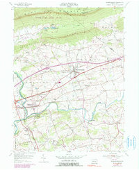
1955 Map of Fredericksburg
USGS Topo · Published 1990About this map
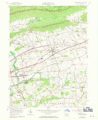
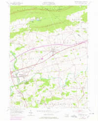
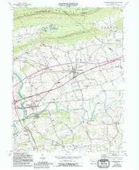
Blue Mountain dominates the northern horizon of this Lebanon County landscape, where the Appalachian Trail follows the ridge line above the rolling farmland below. The village of Fredericksburg serves as a central hub, flanked by smaller historic settlements such as Shirksville, Hamlin, and Meckville. The rural character of the mid-1950s is evident in the dense network of small country schools and churches that served these farming communities, including Groff Sch, Union Salem Ch, and Our Lady of Fatima Chapel.
Find a feature on this map
58 named features on this map. Tap any name to fly to it.
Don’t see what you’re looking for? This feature index may not catch every label — zoom into the map to look around manually.
Map Details
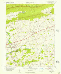
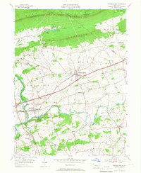
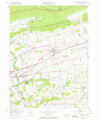
Editions of this 1955 Fredericksburg Map
7 editions found
Other maps of this area

1891 · Lebanon
USGS Topo · 1:62,500

1892 · Lykens
USGS Topo · 1:62,500

1892 · Hummelstown
USGS Topo · 1:62,500

1892 · Pine Grove
USGS Topo · 1:62,500

1893 · Lykens
USGS Topo · 1:62,500

1893 · Lebanon
USGS Topo · 1:62,500

1899 · Lebanon
USGS Topo · 1:62,500

1924 · Hummelstown
USGS Topo · 1:62,500

1943 · Lebanon
USGS Topo · 1:62,500

1943 · Lykens
USGS Topo · 1:62,500
Featured Places
- Bethel Township, PA
- Jonestown, PA
- Union Township, PA
- Swatara Township, PA
- Fredericksburg, Bethel Township