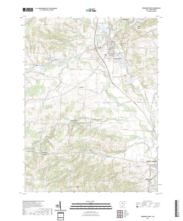
2023 Map of Fredericktown
USGS Topo · Published 2023About this map
Fredericktown serves as the focal point of this Knox County survey, situated at the confluence of the Kokosing River and its North Branch. The landscape reveals a transition from the village center toward the southern outskirts of Mount Vernon and South Mount Vernon. For local history researchers, the map identifies significant archaeological and topographic landmarks such as Rowley Mound, Braddock Mound, and Ghost Hill. The rural periphery is dotted with small community centers like Dorema, Green Valley, and Dalrymple Corners, each established along a dense network of township and county roads. Several historic burial grounds, including the Old Fredericktown Cem and the Green Valley Methodist Protestant Cem, are documented alongside the meandering paths of Granny Creek and Armstrong Run, illustrating the early settlement patterns and religious geography of the region.
Find a feature on this map
112 named features on this map. Tap any name to fly to it.
Don’t see what you’re looking for? This feature index may not catch every label — zoom into the map to look around manually.
Map Details
Editions of this 2023 Fredericktown Map
This is the sole edition of this map. No revisions or reprints were ever made.
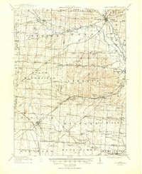
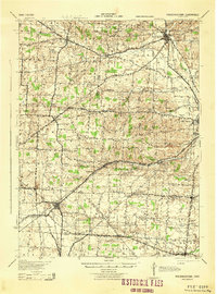
Historical Maps of Clinton Township Through Time
3 maps found