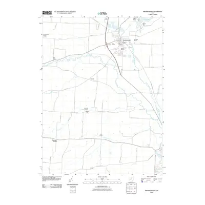
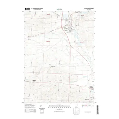
Loading...
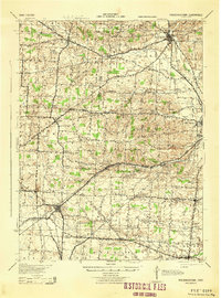
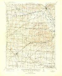
Loading map...1943 Map of Fredericktown
USGS Topo · Published 1943About this map
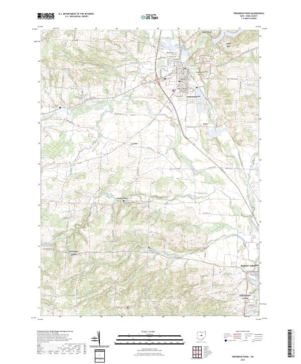
Fredericktown serves as the primary municipal anchor of this wartime survey, situated at the junction of the Baltimore and Ohio RR and several local routes. The landscape is defined by its deep educational and social roots, evidenced by the high density of rural schoolhouses such as Woodland Hall Sch, Ball Sch, and Vail Sch. Near the Knox and Morrow county lines, the County Infirmary stands as a significant landmark of local social history.
Find a feature on this map
84 named features on this map. Tap any name to fly to it.
Don’t see what you’re looking for? This feature index may not catch every label — zoom into the map to look around manually.
Map Details
Date Portrayed1943
Date Published1943
PublisherU.S. Geological Survey
Map TypeTopographic
Scale1:62,500
Physical Dimensions16.1 x 21.8 inches
Editions of this 1943 Fredericktown Map
This is the sole edition of this map. No revisions or reprints were ever made.
Historical Maps of Mount Vernon Through Time
7 maps found
Featured Locations
- Fredericktown, OH
- Mount Vernon, OH
- Centerburg, Hilliar Township
- Sparta, South Bloomfield Township
- Chesterville, Chester Township
Source Details
SourceU.S. Geological Survey
CopyrightPublic Domain