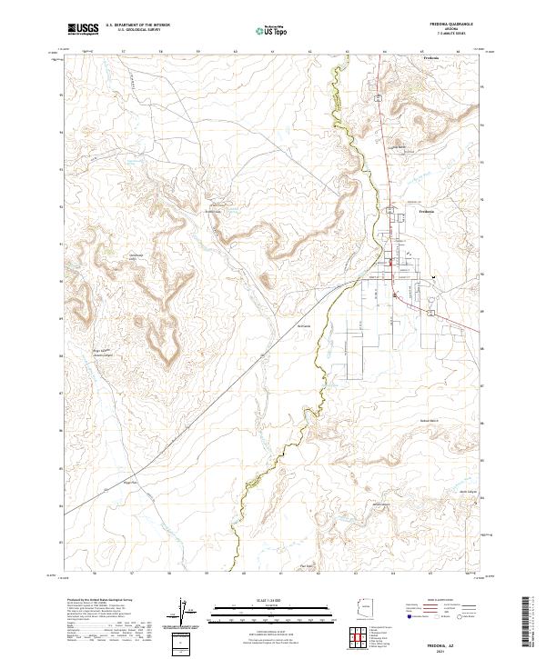
2021 Map of Fredonia
USGS Topo · Published 2021About this map
The town of Fredonia serves as the focal point of this northern Arizona landscape, situated near the transition between the Mohave County and Coconino County line. The settlement pattern shows a concentrated grid of streets including North Main Street and East Pratt Street, while the outlying areas are defined by smaller communities like Six Mile Village and Red Sands. This 2021 survey illustrates a region where life is deeply tied to the land, with numerous named canyons and flats indicating a history of ranching and land use.
Find a feature on this map
47 named features on this map. Tap any name to fly to it.
Don’t see what you’re looking for? This feature index may not catch every label — zoom into the map to look around manually.
Map Details
Editions of this 2021 Fredonia Map
This is the sole edition of this map. No revisions or reprints were ever made.
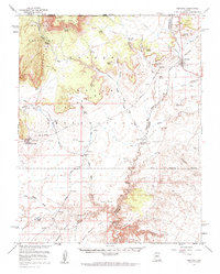
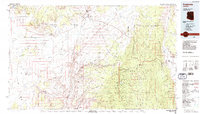
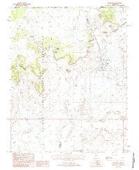
Historical Maps of Fredonia Through Time
4 maps found