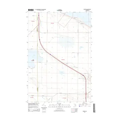
2014 Map of Freedom
USGS Topo · Published 2014About this map
Freedom sits near the northern shoreline of Lake Huron, anchoring a landscape defined by the drainage systems of northern Michigan. This era shows the transition from the lakeside settlement of Carp Lake to the agricultural and wooded interior, where Mill Creek and Mud Cr wind through low-lying basins. The geography is punctuated by numerous inland water bodies, including the large Lake Paradise and the more secluded Nolten Lake, Penny Lake, and Malony Lake. Cultural history is preserved at the Hebron Cem, which remains a focal point for genealogical interest in this rural corridor. Transport routes such as N Hebron Mail Rd and the junction of Us-31 and Us-23 suggest a long history of regional connectivity, while the presence of Fire Tower Rd alludes to the historic forestry management of the surrounding timberlands.
Find a feature on this map
49 named features on this map. Tap any name to fly to it.
Don’t see what you’re looking for? This feature index may not catch every label — zoom into the map to look around manually.
Map Details
Editions of this 2014 Freedom Map
This is the sole edition of this map. No revisions or reprints were ever made.
Other maps of this area

1955 · Cheboygan
USGS Topo · 1:250,000

1957 · Mullett Lake
USGS Topo · 1:62,500

1958 · Cheboygan
USGS Topo · 1:250,000

1958 · Pellston
USGS Topo · 1:62,500

1964 · Round Island
USGS Topo · 1:24,000
1964 · St. Ignace
USGS Topo · 1:24,000
1964 · McGulpin Point
USGS Topo · 1:24,000
1982 · Levering
USGS Topo · 1:25,000

1982 · Pellston
USGS Topo · 1:25,000

1982 · Point Nipigon
USGS Topo · 1:25,000