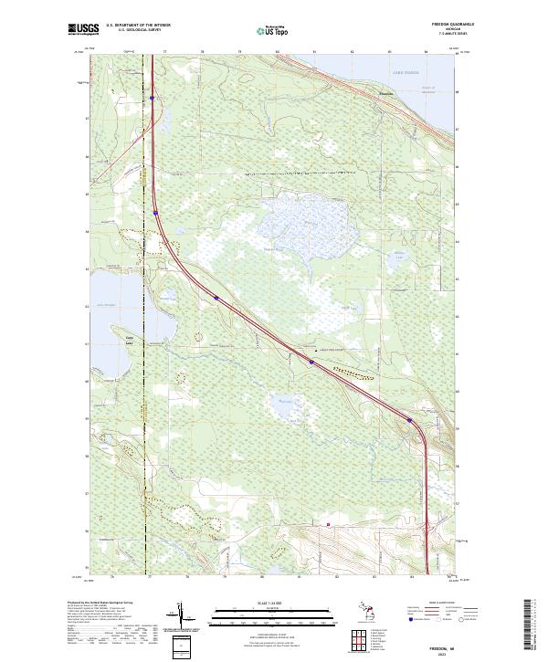
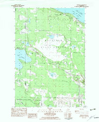
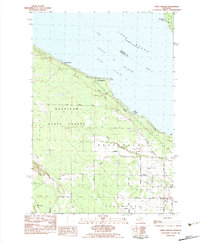
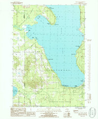
2023 Map of Freedom
USGS Topo · Published 2023About this map
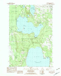
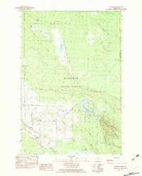
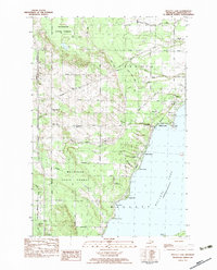
The Straits of Mackinac shoreline near Freedom marks the northern edge of this landscape, where the waters of Lake Huron meet the tip of Michigan's Lower Peninsula. The interior is defined by an extensive wetland system, dominated by the expansive Dingman Marsh and several significant inland bodies of water including Lake Paradise, Carp Lake, and Sommers Lake. This network of marshes and lakes is interconnected by various waterways such as Mill Creek, Mud Creek, and Lancaster Creek, indicating a terrain that has historically shaped local transport and land use along the county line between Emmet and Cheboygan counties.
Find a feature on this map
47 named features on this map. Tap any name to fly to it.
Don’t see what you’re looking for? This feature index may not catch every label — zoom into the map to look around manually.
Map Details
Editions of this 2023 Freedom Map
This is the sole edition of this map. No revisions or reprints were ever made.
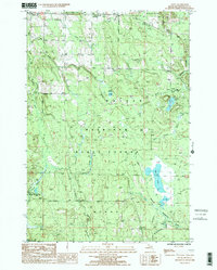
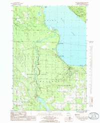
Historical Maps of Freedom Through Time
25 maps found
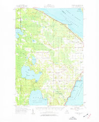
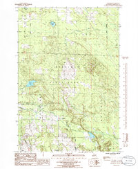
1957 Mullett Lake
Cheboygan County, MI
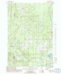
1982 Aloha
Cheboygan County, MI
1982 Cordwood Point
Cheboygan County, MI
1982 Freedom
Cheboygan County, MI
1982 Indianville
Cheboygan County, MI
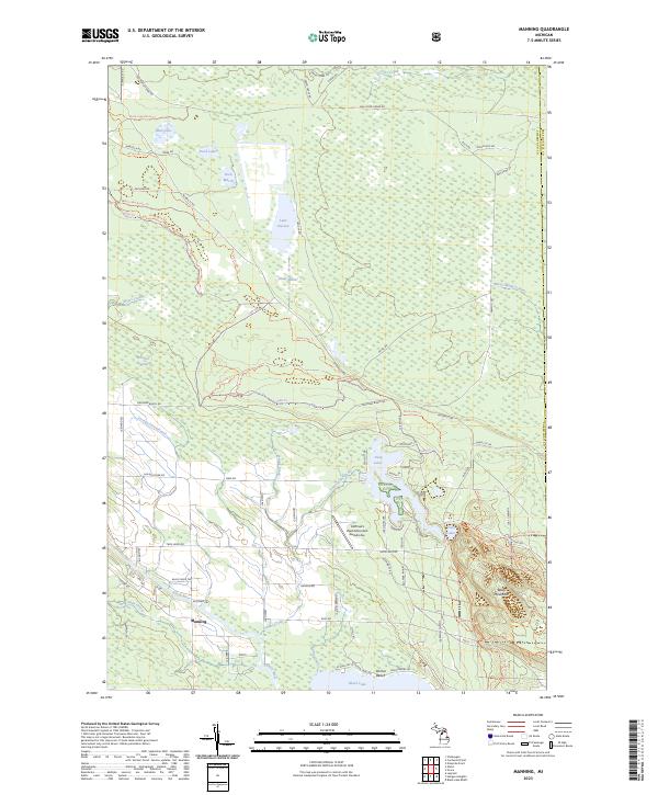
1982 Manning
Cheboygan County, MI
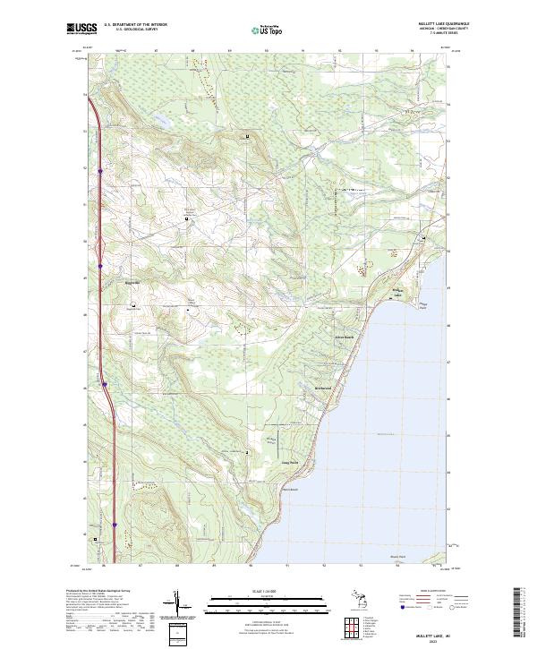
1982 Mullett Lake
Cheboygan County, MI
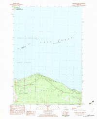
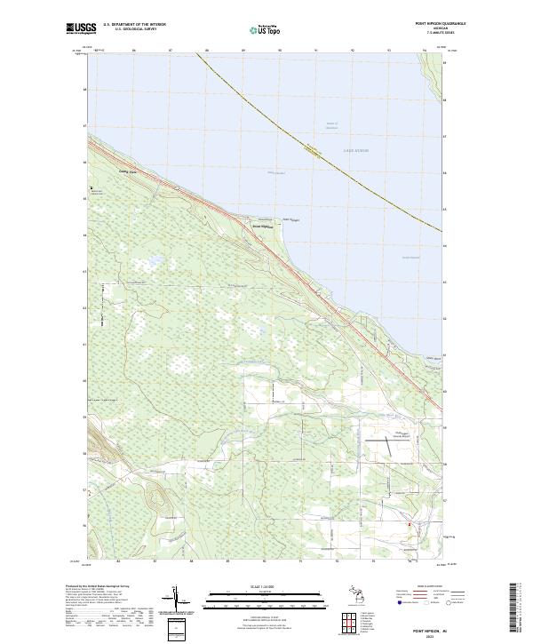
1982 Point Nipigon
Cheboygan County, MI
1986 Afton
Cheboygan County, MI
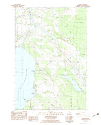
1986 Burt Lake
Cheboygan County, MI
1986 Hangore Heights
Cheboygan County, MI
1986 Legrand
Cheboygan County, MI
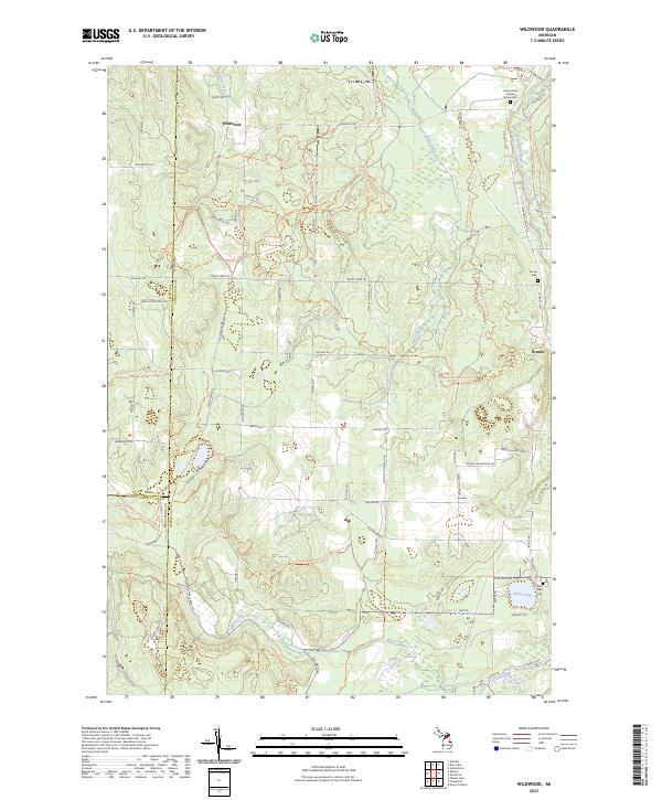
1986 Wildwood
Cheboygan County, MI
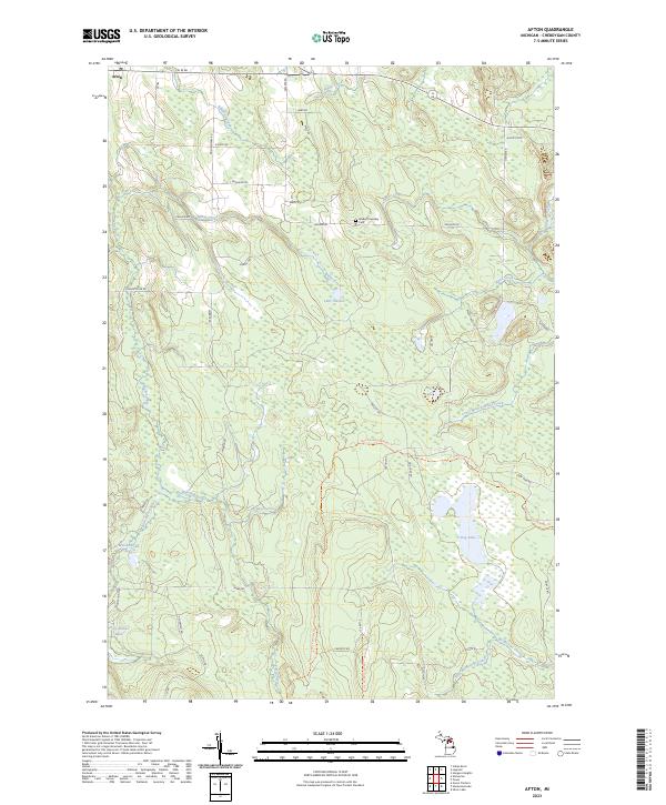
2023 Afton
Cheboygan County, MI
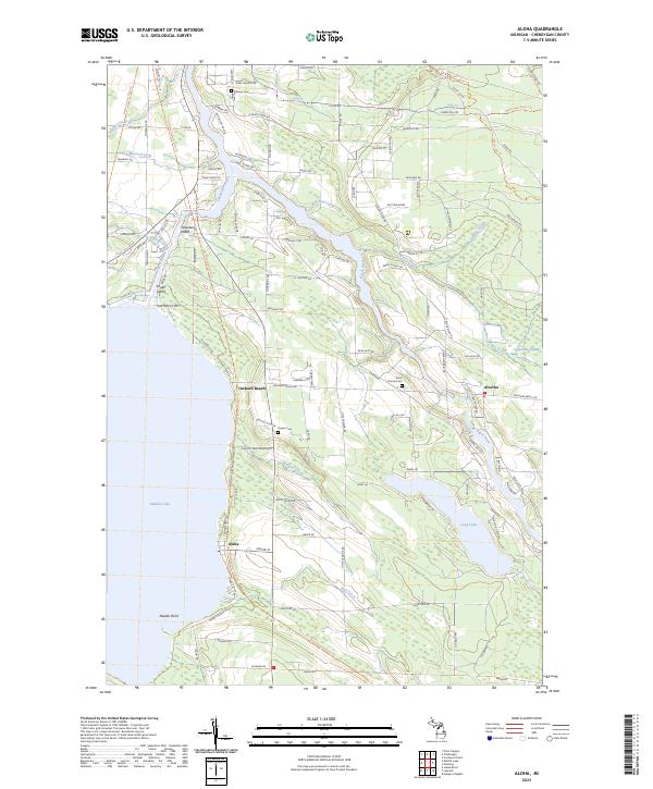
2023 Aloha
Cheboygan County, MI
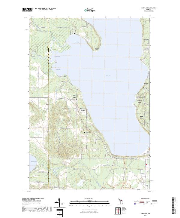
2023 Burt Lake
Cheboygan County, MI
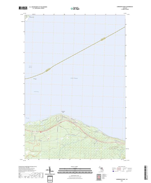
2023 Cordwood Point
Cheboygan County, MI
2023 Freedom
Cheboygan County, MI

2023 Hangore Heights
Cheboygan County, MI
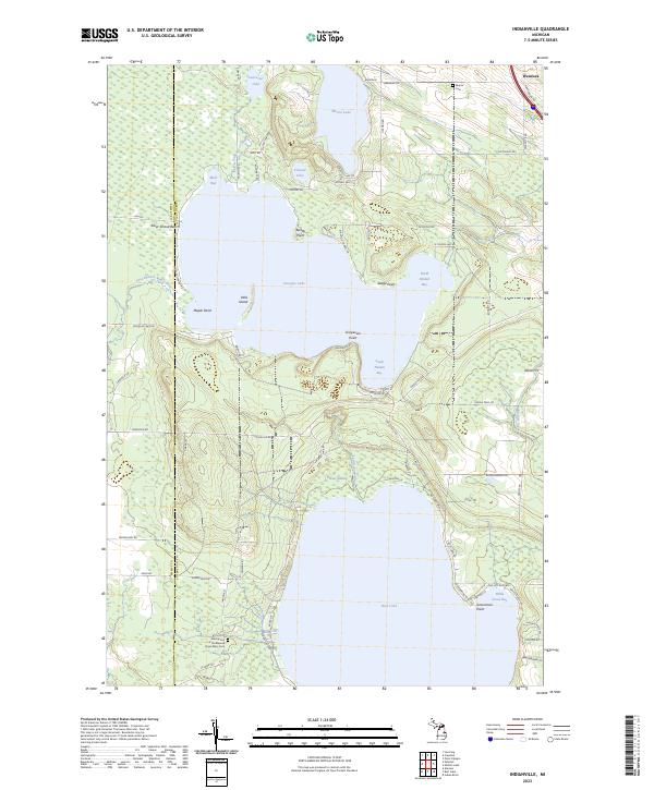
2023 Indianville
Cheboygan County, MI
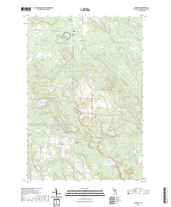
2023 Legrand
Cheboygan County, MI
2023 Manning
Cheboygan County, MI
2023 Mullett Lake
Cheboygan County, MI
2023 Point Nipigon
Cheboygan County, MI
2023 Wildwood
Cheboygan County, MI
Featured Locations
- Carp Lake Township, MI
- McKinley Township, MI
- Wawatam Township, MI
- Mackinaw Township, MI
- Freedom, Mackinaw Township