2022 Map of Freedom
USGS Topo · Published 2022About this map
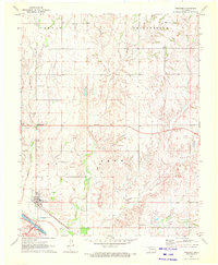
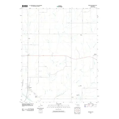
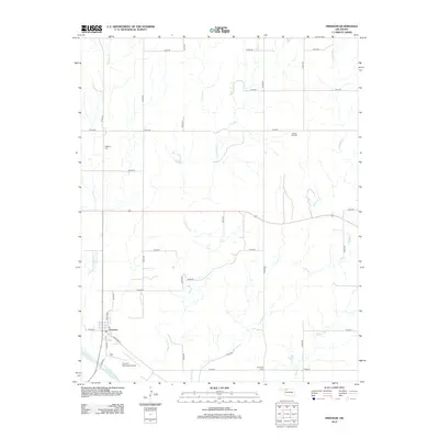
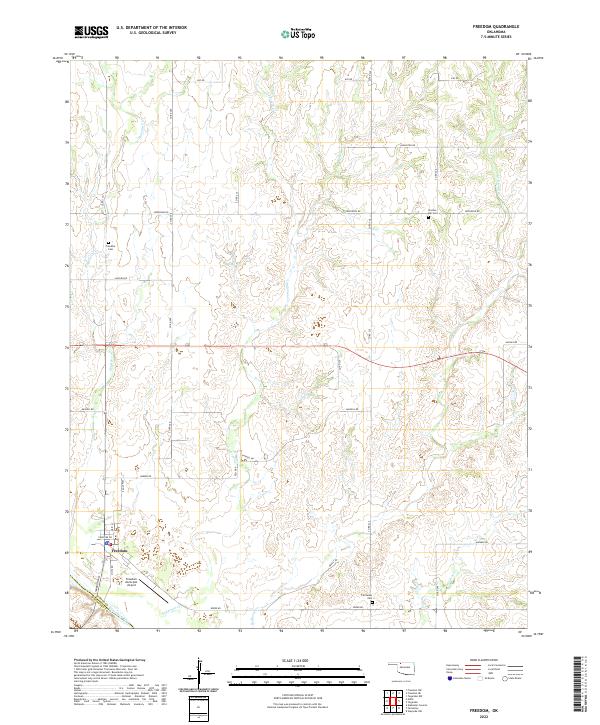
Freedom sits at the southwestern edge of this survey, where Cimarron Pass leads toward the valley of the Cimarron River. The landscape is defined by a network of drainage systems, including Houston Cr, Anderson Cr, and Redhorse Cr, which carve through the terrain as they flow toward the river. Transportation in this part of Woods County is anchored by a grid of rural routes such as Jefferson Rd and Haskell Rd, connecting the scattered settlement points. For those researching local family history, several burial sites are documented across the townships, including Freedom Cem, Preston Hill Cem, and Fairvalley Cem. Aviation infrastructure is represented by the Freedom Municipal Airport, situated just southeast of the town center near the Woodward County line.
Find a feature on this map
38 named features on this map. Tap any name to fly to it.
Don’t see what you’re looking for? This feature index may not catch every label — zoom into the map to look around manually.
Map Details
Editions of this 2022 Freedom Map
This is the sole edition of this map. No revisions or reprints were ever made.
Historical Maps of Freedom Through Time
6 maps found