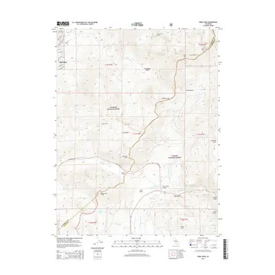
2015 Map of Freel Peak
USGS Topo · Published 2015About this map
Sorensens and Fountain Place anchor this 2015 high-country study of the Sierra Nevada near the El Dorado and Alpine County line. The terrain is dominated by the massive crest of the Carson Range, featuring Freel Peak and its neighboring summits Jobs Sister and Trimmer Peak. A sophisticated network of drainages flows through the valleys, including Trout Creek, Saxon Creek, and the West Fork Carson River, which meanders through the broad floor of Hope Valley.
Find a feature on this map
52 named features on this map. Tap any name to fly to it.
Don’t see what you’re looking for? This feature index may not catch every label — zoom into the map to look around manually.
Map Details
Editions of this 2015 Freel Peak Map
This is the sole edition of this map. No revisions or reprints were ever made.
Other maps of this area

1889 · Pyramid Peak
USGS Topo · 1:125,000

1889 · Markleeville
USGS Topo · 1:125,000

1891 · Markleeville
USGS Topo · 1:125,000

1891 · Pyramid Peak
USGS Topo · 1:125,000

1893 · Markleeville
USGS Topo · 1:125,000

1895 · Pyramid Peak
USGS Topo · 1:125,000

1896 · Pyramid Peak
USGS Topo · 1:125,000

1947 · Sacramento
USGS Topo · 1:250,000

1948 · Walker Lake
USGS Topo · 1:250,000

1948 · Sacramento
USGS Topo · 1:250,000