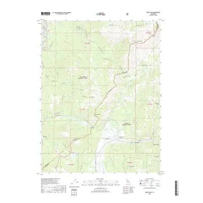
2018 Map of Freel Peak
USGS Topo · Published 2018About this map
Freel Peak and the high summits of the Carson Range dominate this landscape within the Eldorado National Forest and Toiyabe National Forest. The map documents a complex network of recreational trails and high-altitude water bodies, including Star Lake and Grass Lake. Near the southern edge, the small settlement at Sorensens sits along the roadway near the W Fork Carson River, marking a key point of human activity in the otherwise alpine environment of Hope Valley.
Find a feature on this map
64 named features on this map. Tap any name to fly to it.
Don’t see what you’re looking for? This feature index may not catch every label — zoom into the map to look around manually.
Map Details
Editions of this 2018 Freel Peak Map
This is the sole edition of this map. No revisions or reprints were ever made.
Other maps of this area
1889 · Pyramid Peak
USGS Topo · 1:125,000
1889 · Markleeville
USGS Topo · 1:125,000
1891 · Markleeville
USGS Topo · 1:125,000
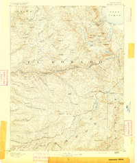
1891 · Pyramid Peak
USGS Topo · 1:125,000
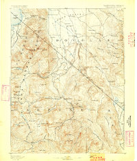
1893 · Markleeville
USGS Topo · 1:125,000
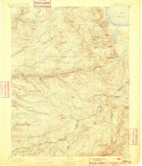
1895 · Pyramid Peak
USGS Topo · 1:125,000
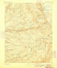
1896 · Pyramid Peak
USGS Topo · 1:125,000
1947 · Sacramento
USGS Topo · 1:250,000

1948 · Walker Lake
USGS Topo · 1:250,000
1948 · Sacramento
USGS Topo · 1:250,000