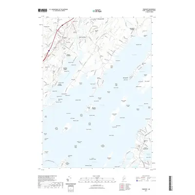
2021 Map of Freeport
USGS Topo · Published 2021About this map
The coastal waters of Casco Bay and Maquoit Bay define this corner of Cumberland County, where the jagged Maine shoreline creates a complex network of points, islands, and tidal inlets. Freeport serves as the inland hub, while smaller maritime settlements like South Freeport, Porter Landing, and Merepoint cluster near the water's edge. The land is marked by numerous family-named burial grounds, including the First Parish Cemetery and Chase-Jameson Cem, which offer significant genealogical value for researchers tracing early area families.
Find a feature on this map
193 named features on this map. Tap any name to fly to it.
Don’t see what you’re looking for? This feature index may not catch every label — zoom into the map to look around manually.
Map Details
Editions of this 2021 Freeport Map
This is the sole edition of this map. No revisions or reprints were ever made.
Other maps of this area

1892 · Freeport
USGS Topo · 1:62,500

1893 · Small Point
USGS Topo · 1:62,500

1893 · Casco Bay
USGS Topo · 1:62,500

1894 · Bath
USGS Topo · 1:62,500

1914 · Casco Bay
USGS Topo · 1:48,000

1916 · Casco Bay
USGS Topo · 1:62,500

1916 · Portland And Vicinity
USGS Topo · 1:62,500

1918 · Portland And Vicinity
USGS Topo · 1:62,500

1919 · Small Point
USGS Topo · 1:62,500

1920 · Bath
USGS Topo · 1:62,500