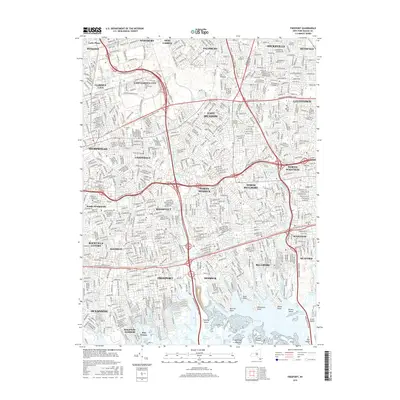
2016 Map of Freeport
USGS Topo · Published 2016About this map
The dense suburban corridor of southern Nassau County is meticulously charted here, where the grid of long-established villages meets the intricate tidal wetlands of the South Shore. Academic landmarks like Hofstra Univ and Nassau Community Coll anchor the northern reaches near Hempstead, while major arteries including the Meadowbrook State Pkwy and Southern State Pkwy facilitate the region's complex commuter flow.
Find a feature on this map
82 named features on this map. Tap any name to fly to it.
Don’t see what you’re looking for? This feature index may not catch every label — zoom into the map to look around manually.
Map Details
Editions of this 2016 Freeport Map
This is the sole edition of this map. No revisions or reprints were ever made.
Other maps of this area
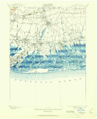
1897 · Hempstead
USGS Topo · 1:62,500

1897 · Oyster Bay
USGS Topo · 1:62,500
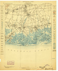
1898 · Hempstead
USGS Topo · 1:62,500
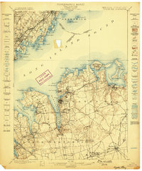
1898 · Oyster Bay
USGS Topo · 1:62,500
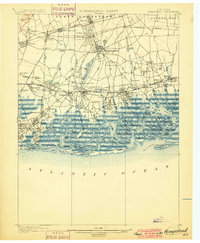
1899 · Hempstead
USGS Topo · 1:62,500
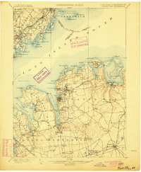
1900 · Oyster Bay
USGS Topo · 1:62,500
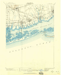
1901 · Babylon
USGS Topo · 1:62,500
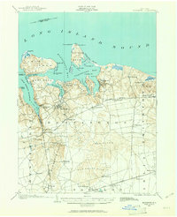
1901 · Northport
USGS Topo · 1:62,500
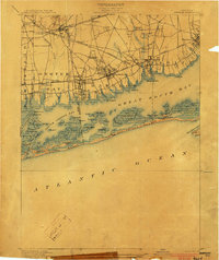
1903 · Babylon
USGS Topo · 1:62,500
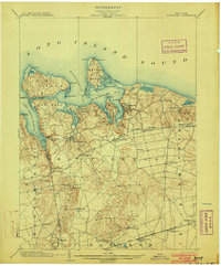
1903 · Northport
USGS Topo · 1:62,500