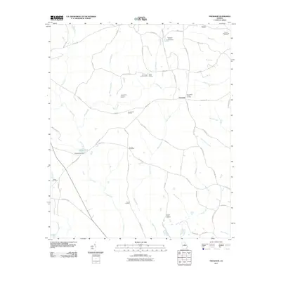
2011 Map of Friendship
USGS Topo · Published 2011About this map
Friendship serves as the central hub of this Georgia landscape, situated amid a high concentration of generational burial grounds and family-named landmarks. The map reveals a deeply rooted rural community where genealogy and topography are closely linked, evidenced by sites like the Trawick Family Cemetery Number 1, John Thomas Family Cemetery, and the Underwood-Harrison Family Cemetery. Waterways including Town Creek, Gumm Creek, and Deepstep Creek drain the undulating terrain, punctuated by engineered features such as O'Quinn Pond Dam and Peavy Lake Dam. This network of creeks and branches, combined with named churchyards like Harmony Churchyard, reflects a settlement pattern defined by small-scale agriculture and established family landholdings. To the south, the Oconee River and Spring Lake mark the boundary of this quiet corner of Washington County.
Find a feature on this map
65 named features on this map. Tap any name to fly to it.
Don’t see what you’re looking for? This feature index may not catch every label — zoom into the map to look around manually.
Map Details
Editions of this 2011 Friendship Map
This is the sole edition of this map. No revisions or reprints were ever made.
Other maps of this area

1912 · Milledgeville
USGS Topo · 1:62,500

1916 · Irwinton
USGS Topo · 1:62,500

1920 · Irwinton
USGS Topo · 1:62,500

1953 · Athens
USGS Topo · 1:250,000

1957 · Macon
USGS Topo · 1:250,000

1958 · Macon
USGS Topo · 1:250,000

1958 · Athens
USGS Topo · 1:250,000

1959 · Athens
USGS Topo · 1:250,000

1961 · Deepstep
USGS Topo · 1:24,000

1961 · Warthen NW
USGS Topo · 1:24,000