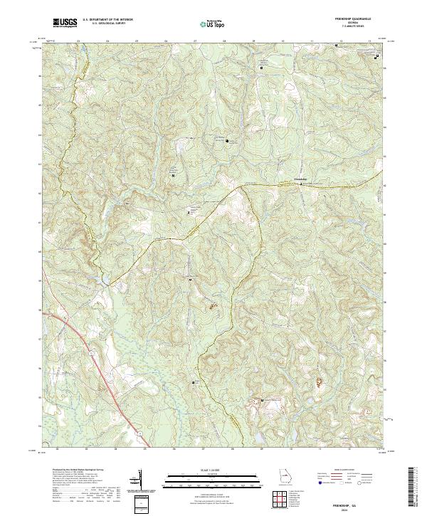
2024 Map of Friendship
USGS Topo · Published 2024About this map
Friendship serves as a central point in this rural landscape where Baldwin, Hancock, and Washington counties converge. The terrain is defined by a dense network of watercourses, including the southward-flowing Town Creek and Spring Creek, which shape the local topography and historical land divisions. Large tracts are identified as Farm Service Agency Interest of Georgia, suggesting a significant portion of the area remains dedicated to agriculture or conservation efforts.
Find a feature on this map
75 named features on this map. Tap any name to fly to it.
Don’t see what you’re looking for? This feature index may not catch every label — zoom into the map to look around manually.
Map Details
Editions of this 2024 Friendship Map
This is the sole edition of this map. No revisions or reprints were ever made.
Other maps of this area

1912 · Milledgeville
USGS Topo · 1:62,500

1916 · Irwinton
USGS Topo · 1:62,500

1920 · Irwinton
USGS Topo · 1:62,500

1953 · Athens
USGS Topo · 1:250,000

1957 · Macon
USGS Topo · 1:250,000

1958 · Macon
USGS Topo · 1:250,000

1958 · Athens
USGS Topo · 1:250,000

1959 · Athens
USGS Topo · 1:250,000

1961 · Deepstep
USGS Topo · 1:24,000

1961 · Warthen NW
USGS Topo · 1:24,000