1972 Map of Front Royal
USGS Topo · Published 1974About this map
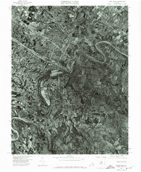
The confluence of the north and south forks of the Shenandoah River defines the geography of Front Royal in this 1972 orthophotoquad. Produced by the Geological Survey and the Commonwealth of Virginia Division of Mineral Resources, this aerial perspective captures the town as it looked in the early 1970s, showcasing the expanding residential patterns and the industrial layout near the water's edge. The sharp bend of the South Fork Shenandoah River and the winding course of the North Fork Shenandoah River frame the settlement, revealing how the local topography dictated the development of roads and railways. This photographic record, overseen by State Geologist James L. Calver, provides a clear view of the agricultural fields and forested ridges surrounding the community before subsequent decades of suburban growth altered the rural character of the Warren County landscape.
Find a feature on this map
3 named features on this map. Tap any name to fly to it.
Don’t see what you’re looking for? This feature index may not catch every label — zoom into the map to look around manually.
Map Details
Editions of this 1972 Front Royal Map
This is the sole edition of this map. No revisions or reprints were ever made.
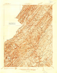
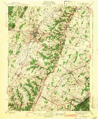
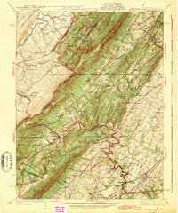
Other maps of this area

1893 · Luray
USGS Topo · 1:125,000

1894 · Winchester
USGS Topo · 1:125,000

1905 · Luray
USGS Topo · 1:125,000

1923 · Middletown
USGS Topo · 1:62,500
1937 · Middletown
USGS Topo · 1:48,000

1938 · Winchester
USGS Topo · 1:48,000

1939 · Front Royal
USGS Topo · 1:48,000
1942 · Winchester
USGS Topo · 1:62,500
1943 · Middletown
USGS Topo · 1:62,500

1944 · Front Royal
USGS Topo · 1:62,500