1994 Map of Front Royal
USGS Topo · Published 1997About this map
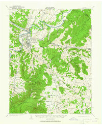
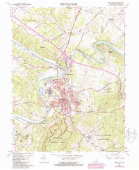
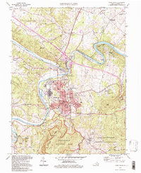
The confluence of the North Fork Shenandoah River and South Fork Shenandoah River serves as the focal point for this mid-1990s look at Front Royal. The landscape is dominated by the transition from industrial and transit hubs like Riverton Junction and Viscose City to the protected forests of Shenandoah National Park. Significant local landmarks include the Randolph Macon Military Academy and the Skyline Caverns Entrance, alongside numerous civic buildings such as the Courthouse and Townhall.
Find a feature on this map
79 named features on this map. Tap any name to fly to it.
Don’t see what you’re looking for? This feature index may not catch every label — zoom into the map to look around manually.
Map Details
Editions of this 1994 Front Royal Map
This is the sole edition of this map. No revisions or reprints were ever made.
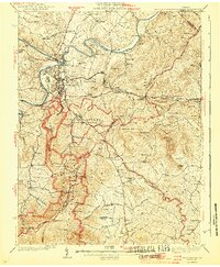
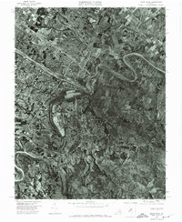
Historical Maps of Front Royal Through Time
7 maps found