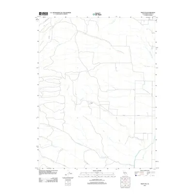
2012 Map of Fruto NE
USGS Topo · Published 2012About this map
Michael Ranch stands as a central landmark in this rural Glenn County landscape, characterized by a complex drainage network where the S Fork Walker Cr and N Fork Walker Cr meet. The geography is defined by numerous seasonal watercourses, including Tall Cabin Cr, White Cabin Cr, and Sheep Corral Cr, which carve through the foothills before descending toward the Sacramento Valley. An engineering highlight of the region is the Tehama Colusa Canal, which cuts through the southeastern corner of the quadrangle, representing the essential role of water management in California's agricultural history. The road network is primarily composed of county routes and utility roads like Black Butte Rd and Co Rd D, which facilitate access to the remote ranching and grazing lands between the mountain peaks and the valley floor.
Find a feature on this map
18 named features on this map. Tap any name to fly to it.
Don’t see what you’re looking for? This feature index may not catch every label — zoom into the map to look around manually.
Map Details
Editions of this 2012 Fruto NE Map
This is the sole edition of this map. No revisions or reprints were ever made.
Other maps of this area

1904 · Vina
USGS Topo · 1:62,500

1904 · Walker Creek
USGS Topo · 1:31,680

1906 · Willows
USGS Topo · 1:62,500

1914 · Kirkwood
USGS Topo · 1:31,680

1914 · Orland
USGS Topo · 1:31,680

1917 · Kurand
USGS Topo · 1:31,680

1917 · Lyman
USGS Topo · 1:31,680

1919 · Fruto
USGS Topo · 1:62,500

1944 · Fruto
USGS Topo · 1:62,500

1944 · Flournoy
USGS Topo · 1:62,500