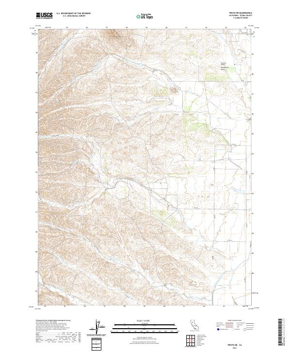
2021 Map of Fruto NE
USGS Topo · Published 2021About this map
The Sacramento Valley and its western foothills are the focus of this 2021 survey, where the massive Tehama Colusa Canal cuts across the southeast corner of the map. This modern industrial waterway contrasts sharply with the seasonal drainage patterns of the surrounding landscape, characterized by complex creek networks such as Wilson Cr, White Cabin Cr, and Sheep Corral Cr. To the north, the Orland Buttes rise as a distinctive landform above the Central Valley floor. The mapping of the Public Land Survey System (PLSS) grid reveals a transition from the structured township divisions of the valley into the more irregular terrain of Stone Valley. This area is defined by its rural road network, including Co Rd 28 and Co Rd 30, which follow the natural contours of the foothills and historic property lines.
Find a feature on this map
31 named features on this map. Tap any name to fly to it.
Don’t see what you’re looking for? This feature index may not catch every label — zoom into the map to look around manually.
Map Details
Editions of this 2021 Fruto NE Map
This is the sole edition of this map. No revisions or reprints were ever made.
Other maps of this area

1904 · Vina
USGS Topo · 1:62,500

1904 · Walker Creek
USGS Topo · 1:31,680

1906 · Willows
USGS Topo · 1:62,500

1914 · Kirkwood
USGS Topo · 1:31,680

1914 · Orland
USGS Topo · 1:31,680

1917 · Kurand
USGS Topo · 1:31,680

1917 · Lyman
USGS Topo · 1:31,680

1919 · Fruto
USGS Topo · 1:62,500

1944 · Fruto
USGS Topo · 1:62,500

1944 · Flournoy
USGS Topo · 1:62,500