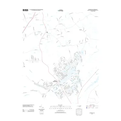
2013 Map of Funston
USGS Topo · Published 2013About this map
Boiling Spring Lakes dominates this coastal North Carolina landscape, characterized by an intricate network of small lakes and winding swamp drainage. The residential layout of the city shows a complex web of roads such as W Boiling Spring Road and Shady Brook Drive that navigate between named water bodies including Crystal Lake, Patricia Lake, and Frink Lake. This aquatic topography is defined by the large Bell Swamp and Harris Swamp systems to the north, which flow into Mill Creek. To the east, the terrain opens toward the large Orton Pond, while the small settlement of Funston sits at a rural crossroads. The area's low-lying nature is further emphasized by evocative labels such as Half Hell Swamp and Middle Swamp, showing the significant role of the hydrographic landscape in shaping local development and transport, including the historic crossing at Lewis Bridge.
Find a feature on this map
268 named features on this map. Tap any name to fly to it.
Don’t see what you’re looking for? This feature index may not catch every label — zoom into the map to look around manually.
Map Details
Editions of this 2013 Funston Map
This is the sole edition of this map. No revisions or reprints were ever made.
Other maps of this area

1942 · Wilmington
USGS Topo · 1:62,500

1943 · Funston
USGS Topo · 1:24,000

1943 · Winnabow
USGS Topo · 1:24,000

1943 · Bolivia
USGS Topo · 1:24,000

1943 · Lockwoods Folly
USGS Topo · 1:24,000

1943 · Lewis Swamp
USGS Topo · 1:24,000

1944 · Bolivia
USGS Topo · 1:31,680

1944 · Winnabow
USGS Topo · 1:31,680

1944 · Lockwoods Folly
USGS Topo · 1:31,680

1944 · Lewis Swamp
USGS Topo · 1:31,680