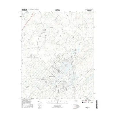
2016 Map of Funston
USGS Topo · Published 2016About this map
Boiling Spring Lakes forms the central hub of this Brunswick County landscape, where an intricate network of residential streets surrounds a dense cluster of lakes and ponds. This mid-2010s survey reveals a community defined by its proximity to water, with large features like Boiling Spring Lake and Crystal Lake serving as landmarks alongside dozens of smaller basins including Mirror Lake, Green Lake, and Tate Lake. The surrounding terrain is characterized by expansive wetland systems like Bell Swamp and Harris Swamp, illustrating the coastal plain's hydrologic complexity.
Find a feature on this map
214 named features on this map. Tap any name to fly to it.
Don’t see what you’re looking for? This feature index may not catch every label — zoom into the map to look around manually.
Map Details
Editions of this 2016 Funston Map
This is the sole edition of this map. No revisions or reprints were ever made.
Other maps of this area

1942 · Wilmington
USGS Topo · 1:62,500

1943 · Funston
USGS Topo · 1:24,000

1943 · Winnabow
USGS Topo · 1:24,000

1943 · Bolivia
USGS Topo · 1:24,000

1943 · Lockwoods Folly
USGS Topo · 1:24,000

1943 · Lewis Swamp
USGS Topo · 1:24,000

1944 · Bolivia
USGS Topo · 1:31,680

1944 · Winnabow
USGS Topo · 1:31,680

1944 · Lockwoods Folly
USGS Topo · 1:31,680

1944 · Lewis Swamp
USGS Topo · 1:31,680