Loading...
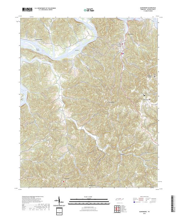
Loading map...2022 Map of Gainesboro
USGS Topo · Published 2022About this map
Gainesboro serves as the focal point of this Jackson County landscape, anchored by the Jackson County Courthouse near the banks of the Cordell Hull Reservoir. The terrain is defined by a dense network of hollows and ridges, where small settlements like McCoinsville and New Salem are tucked into the valleys. A sense of local history is preserved in the family-named landmarks and small burial grounds such as Stafford Cem and Pharris Cem that dot the hillsides.
Find a feature on this map
140 named features on this map. Tap any name to fly to it.
Don’t see what you’re looking for? This feature index may not catch every label — zoom into the map to look around manually.
Map Details
Date Portrayed2022
Date Published2022
PublisherU.S. Geological Survey
Map TypeTopographic
Scale1:24000
Physical Dimensions24 x 29 inches
Editions of this 2022 Gainesboro Map
This is the sole edition of this map. No revisions or reprints were ever made.
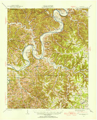
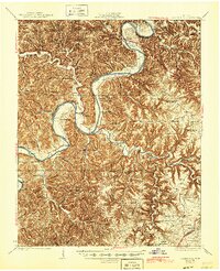
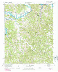
Historical Maps of Antioch Through Time
4 maps found
Featured Locations
Source Details
SourceU.S. Geological Survey
CopyrightPublic Domain