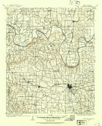
1902 Map of Gainesville
USGS Topo · Published 1954About this map
The Red River defines the border between the Chickasaw Nation and northern Texas at the turn of the century, a landscape shaped by river bends and ferries. The river's serpentine path creates massive alluvial loops such as Sivells Bend and Warrens Bend, which were critical nodes for regional movement. Crossings like Browns Ferry, Burneyville Ferry, and Freemans Ferry served as vital links before permanent bridges dominated the corridor. South of the river, Gainesville emerges as a significant rail and trade hub, anchored by the Missouri Kansas and Texas railroad.
Find a feature on this map
139 named features on this map. Tap any name to fly to it.
Don’t see what you’re looking for? This feature index may not catch every label — zoom into the map to look around manually.
Map Details
Editions of this 1902 Gainesville Map
5 editions found
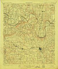
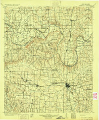
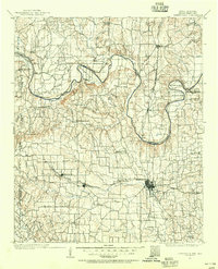
Other maps of this area

1901 · Addington
USGS Topo · 1:125,000

1901 · Tishomingo
USGS Topo · 1:125,000

1901 · Ardmore
USGS Topo · 1:125,000

1901 · Denison
USGS Topo · 1:125,000

1902 · Gainesville
USGS Topo · 1:125,000

1905 · Montague
USGS Topo · 1:125,000

1918 · Ardmore
USGS Topo · 1:125,000

1943 · Gainesville
USGS Topo · 1:125,000

1954 · Sherman
USGS Topo · 1:250,000

1957 · Ardmore
USGS Topo · 1:250,000