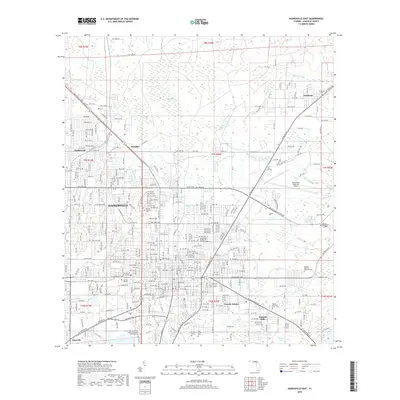
2018 Map of Gainesville East
USGS Topo · Published 2018About this map
Gainesville serves as the focal point of this 2018 survey, showcasing the city's eastward expansion and its integration with the surrounding Alachua County landscape. The eastern reaches of the Univ of Florida campus transition into dense residential neighborhoods like Lincoln Estates and Kincaid Hills, while the prominent Gainesville Regional Airport dominates the northeast. The geography is defined by a series of wetlands and water bodies, including Hatchet Creek and the marshy expanses of Gum Root Swamp, which drain toward the shores of Newnans Lake. Several established burial grounds, such as Evergreen Cem and Fairbanks Cem, provide important landmarks for genealogical research. The map also captures smaller communities like Fairbanks and Paradise, illustrating the network of roads and corridors that connect these outlying settlements to the urban core.
Find a feature on this map
138 named features on this map. Tap any name to fly to it.
Don’t see what you’re looking for? This feature index may not catch every label — zoom into the map to look around manually.
Map Details
Editions of this 2018 Gainesville East Map
This is the sole edition of this map. No revisions or reprints were ever made.
Other maps of this area

1890 · Arredondo
USGS Topo · 1:62,500

1892 · Arredondo
USGS Topo · 1:62,500

1894 · Arredondo
USGS Topo · 1:62,500

1938 · Hawthorn
USGS Topo · 1:48,000

1941 · Starke
USGS Topo · 1:62,500

1943 · Hawthorn
USGS Topo · 1:62,500

1948 · Starke
USGS Topo · 1:50,000

1949 · Waldo
USGS Topo · 1:24,000

1949 · Starke
USGS Topo · 1:62,500

1954 · Gainesville
USGS Topo · 1:250,000