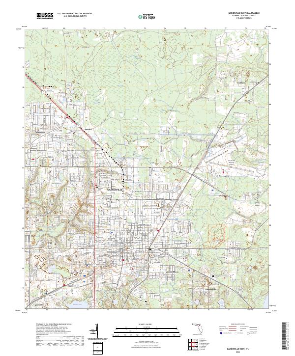
2024 Map of Gainesville East
USGS Topo · Published 2024About this map
The Gainesville city limits and its eastern expansion define this contemporary landscape, where urban infrastructure meets the wetlands of Alachua County. The campus of the University of Florida dominates the southwestern quadrant, while the Gainesville Regional Airport and the surrounding industrial corridors shape the northeastern geography. The map reveals a transition from dense street grids to ecologically distinct areas like Gum Root Swamp, Potato Patch Bay, and the wide expanse of Hogtown Prairie. For those tracing local history or genealogy, several established burial grounds are documented, including Fairbanks Cem near the settlement of Fairbanks, as well as Evergreen Cem and Mount Pleasant Cem. The presence of the Alachua County Criminal Justice Center and various residential developments like Lincoln Estates and Kincaid Hills illustrate the modern civic and social footprint of the region.
Find a feature on this map
272 named features on this map. Tap any name to fly to it.
Don’t see what you’re looking for? This feature index may not catch every label — zoom into the map to look around manually.
Map Details
Editions of this 2024 Gainesville East Map
This is the sole edition of this map. No revisions or reprints were ever made.
Other maps of this area

1890 · Arredondo
USGS Topo · 1:62,500

1892 · Arredondo
USGS Topo · 1:62,500

1894 · Arredondo
USGS Topo · 1:62,500

1938 · Hawthorn
USGS Topo · 1:48,000

1941 · Starke
USGS Topo · 1:62,500

1943 · Hawthorn
USGS Topo · 1:62,500

1948 · Starke
USGS Topo · 1:50,000

1949 · Waldo
USGS Topo · 1:24,000

1949 · Starke
USGS Topo · 1:62,500

1954 · Gainesville
USGS Topo · 1:250,000