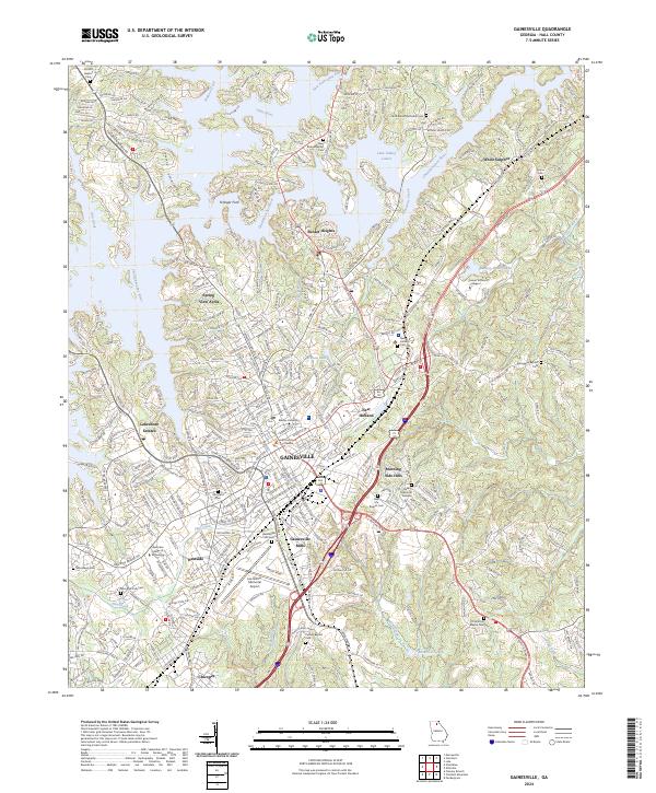
2024 Map of Gainesville
USGS Topo · Published 2024About this map
Gainesville serves as the focal point of this Hall County survey, showing a dense urban landscape defined by the intersection of historic transit and modern infrastructure. The Norfolk Southern railway cuts through the city center, connecting industrial legacy sites like Gainesville Mills and the nearby Chicopee settlement. Notable educational and civic landmarks including Brenau University and the Hall County Courthouse anchor the downtown core, while the Lee Gilmer Memorial Airport occupies the southern reaches of the city.
Find a feature on this map
328 named features on this map. Tap any name to fly to it.
Don’t see what you’re looking for? This feature index may not catch every label — zoom into the map to look around manually.
Map Details
Editions of this 2024 Gainesville Map
This is the sole edition of this map. No revisions or reprints were ever made.
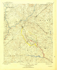
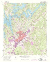
Historical Maps of Rabbittown Through Time
3 maps found