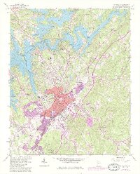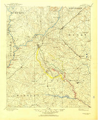
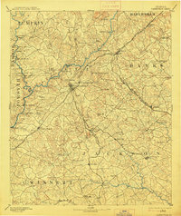
1891 Map of Gainesville
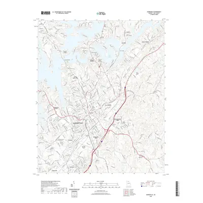
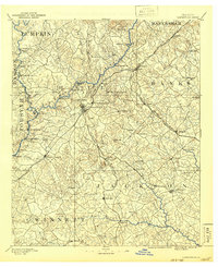
USGS Topo · Published 1950About this map
The Chattahoochee River defines the western reaches of this North Georgia territory, a landscape where river crossings and spring-side resorts shaped the late 19th-century economy. Hubs like Gainesville and Jefferson serve as central points for an extensive network of ferries, including Williams Ferry and Keith Fy, alongside numerous family-named bridges and fords. The era's focus on healing waters and industry is evident in the presence of White Sulphur Springs and New Holland Springs, as well as industrial sites like Oconee Mills and Mauldin Mill. Three major rail lines, including the Richmond and Danville Railroad, intersect the region, facilitating trade through settlements such as Lula, Maysville, and Flowery Branch. This survey illustrates the intricate balance between the natural river systems and the expanding transportation corridors that bridged Hall, Jackson, and surrounding counties.
Find a feature on this map
95 named features on this map. Tap any name to fly to it.
Don’t see what you’re looking for? This feature index may not catch every label — zoom into the map to look around manually.
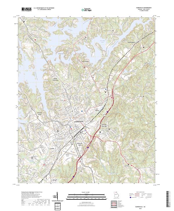
Map Details
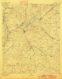
Editions of this 1891 Gainesville Map
5 editions found

Historical Maps of Gainesville Through Time
7 maps found