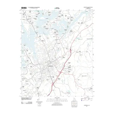
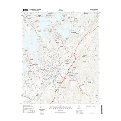
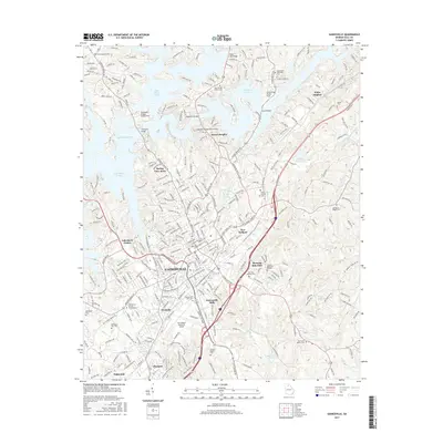
Loading...
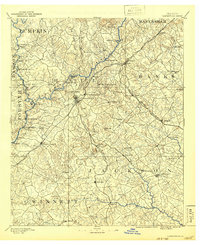
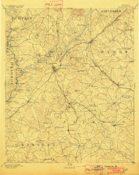
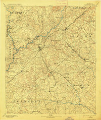
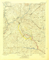
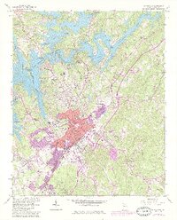
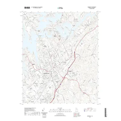
Loading map...1891 Map of Gainesville
USGS Topo · Published 1942About this map
Gainesville serves as a central rail hub in the late 19th century, situated at the intersection of the Richmond and Danville Railroad and lines stretching toward Jefferson. The landscape of Northeast Georgia is defined by its numerous river crossings, featuring a network of fords and ferries such as Seven Island Fd, Williams Ferry, and Lights Fy along the Chattahoochee River.
Find a feature on this map
91 named features on this map. Tap any name to fly to it.
Don’t see what you’re looking for? This feature index may not catch every label — zoom into the map to look around manually.
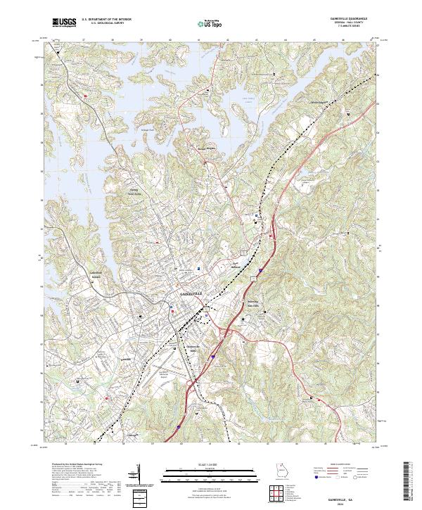
Map Details
Date Portrayed1891
Date Published1942
PublisherU.S. Geological Survey
Map TypeTopographic
Scale1:125,000
Physical Dimensions16.9 x 20.6 inches
Editions of this 1891 Gainesville Map
5 editions found

Historical Maps of Gainesville Through Time
7 maps found
Featured Locations
Source Details
SourceU.S. Geological Survey
CopyrightPublic Domain