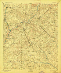
1891 Map of Gainesville
USGS Topo · Published 1914About this map
Gainesville serves as the hub of a developing Northeast Georgia transit network in this late 19th-century survey. The landscape is defined by the Chattahoochee River and its numerous crossings, from Williams Ferry and Keith Fy to the historic Thompson Br.. This era captures the regional reliance on river power and rail connectivity, evidenced by Oconee Mills and Mauldin Mill along the watercourses, and the convergence of lines like the Richmond and Danville Railroad and the Gainesville Jefferson and Southern Railroad.
Find a feature on this map
102 named features on this map. Tap any name to fly to it.
Don’t see what you’re looking for? This feature index may not catch every label — zoom into the map to look around manually.
Map Details
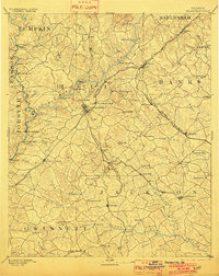
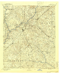
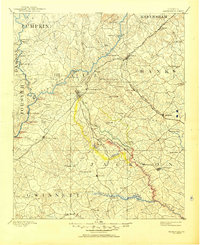
Editions of this 1891 Gainesville Map
5 editions found
Other maps of this area

1886 · Dahlonega
USGS Topo · 1:125,000

1886 · Walhalla
USGS Topo · 1:125,000

1888 · Ellijay
USGS Topo · 1:125,000

1888 · Atlanta
USGS Topo · 1:125,000

1890 · Suwanee
USGS Topo · 1:125,000

1890 · Atlanta
USGS Topo · 1:125,000

1891 · Gainesville
USGS Topo · 1:125,000

1891 · Carnesville
USGS Topo · 1:125,000

1892 · Dahlonega
USGS Topo · 1:125,000

1892 · Walhalla
USGS Topo · 1:125,000