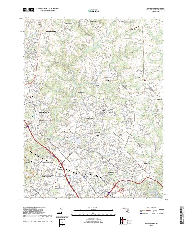
2023 Map of Gaithersburg
USGS Topo · Published 2023About this map
Gaithersburg and the modern residential corridors of Montgomery County appear in high detail, illustrating a landscape where historical hamlets meet contemporary planned communities. The map traces the dense network of roads like Frederick Rd and Ridge Rd that connect established centers like Clarksburg and Germantown with newer developments like Montgomery Village and Flower Hill. Local heritage is preserved in several churchyards and cemeteries, including the Goshen Mennonite Church Cem and Saint Paul Methodist Church Cem near Laytonsville.
Find a feature on this map
62 named features on this map. Tap any name to fly to it.
Don’t see what you’re looking for? This feature index may not catch every label — zoom into the map to look around manually.
Map Details
Editions of this 2023 Gaithersburg Map
This is the sole edition of this map. No revisions or reprints were ever made.
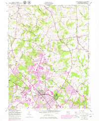
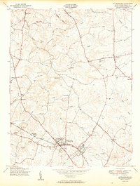
Historical Maps of Observatory Heights Through Time
4 maps found