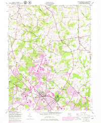
1945 Map of Gaithersburg
USGS Topo · Published 1979About this map
Gaithersburg and its surrounding Montgomery County landscape are captured here in a period of significant post-war transition. While the Baltimore and Ohio railroad remains a primary corridor through Metropolitan Grove and Washington Grove, the 1970s updates reveal the rapid expansion of Montgomery Village and large institutional footprints like the National Bureau of Standards. Local-history details are preserved in the positioning of smaller crossroad settlements such as Prathertown, Stewart Town, and Emory Grove. The map details the drainage basins of Great Seneca Creek and Rock Creek, showing how the early agricultural patterns of Goshen and Laytonsville began to interface with specialized facilities like the Montgomery County Airpark and the US Atomic Energy Comm.
Find a feature on this map
49 named features on this map. Tap any name to fly to it.
Don’t see what you’re looking for? This feature index may not catch every label — zoom into the map to look around manually.
Map Details
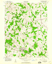
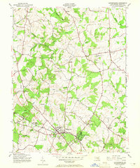
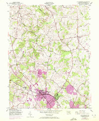
Editions of this 1945 Gaithersburg Map
4 editions found
Other maps of this area

1893 · Frederick
USGS Topo · 1:125,000

1894 · Frederick
USGS Topo · 1:125,000

1908 · Rockville
USGS Topo · 1:62,500

1908 · Seneca
USGS Topo · 1:62,500

1908 · Ijamsville
USGS Topo · 1:62,500

1909 · Mount Airy
USGS Topo · 1:62,500

1909 · Ijamsville
USGS Topo · 1:62,500

1923 · Rockville
USGS Topo · 1:62,500

1942 · Frederick
USGS Topo · 1:62,500

1944 · Germantown
USGS Topo · 1:31,680