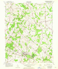
1945 Map of Gaithersburg
USGS Topo · Published 1965About this map
Gaithersburg and the planned community of Washington Grove serve as the primary hubs in this mid-1940s landscape, positioned along the vital Baltimore and Ohio railroad corridor. The area displays a transition from the developing municipal centers to a network of established crossroads and rural hamlets, including Emory Grove, Goshen, and Prathertown. Educational and social foundations of the era are visible at locations like the Brookgrove Sch and the Ashbury Home.
Find a feature on this map
35 named features on this map. Tap any name to fly to it.
Don’t see what you’re looking for? This feature index may not catch every label — zoom into the map to look around manually.
Map Details
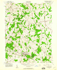
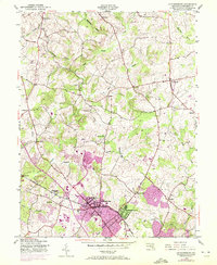
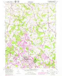
Editions of this 1945 Gaithersburg Map
4 editions found
Other maps of this area

1893 · Frederick
USGS Topo · 1:125,000

1894 · Frederick
USGS Topo · 1:125,000

1908 · Rockville
USGS Topo · 1:62,500

1908 · Seneca
USGS Topo · 1:62,500

1908 · Ijamsville
USGS Topo · 1:62,500

1909 · Mount Airy
USGS Topo · 1:62,500

1909 · Ijamsville
USGS Topo · 1:62,500

1923 · Rockville
USGS Topo · 1:62,500

1942 · Frederick
USGS Topo · 1:62,500

1944 · Germantown
USGS Topo · 1:31,680